
 | ||
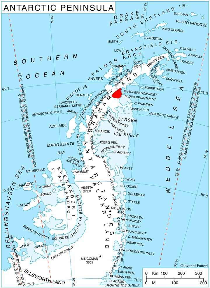
Taridin Ridge (Bulgarian: хребет Таридин, ‘Hrebet Taridin’ \'hre-bet ta-ri-'din) is the rocky Y-shaped ridge extending 20 km in east-west direction, 7.15 km wide, and rising to 1200 m (Mount Mayhew) in central Aristotle Mountains on Oscar II Coast in Graham Land. It surmounts Pequod Glacier to the north and Starbuck Glacier to the south. The feature is named after Taridin, governor in Southwestern Bulgaria under Czar Boris I and Czar Simeon I (9th-10th century).
Contents
Location
Taridin Ridge is located at 65°33′07″S 62°30′13″W. British mapping in 1976.
Maps
References
Taridin Ridge Wikipedia(Text) CC BY-SA