
- location below Rough Hill | - elevation 837 m (2,746 ft) - elevation 316 m (1,037 ft) Country Australia | |
 | ||
Similar Murrindindi River, Steavenson River, Wongungarra River, Little River, Cumberland River | ||
The Taponga River, an inland perennial river of the Goulburn Broken catchment, part of the Murray-Darling basin, is located in the lower South Eastern Highlands bioregion, alpine and Northern Country/North Central regions of the Australian state of Victoria. It flows from the northwestern slopes of the Australian Alps, north and joins with the Big River.
Contents
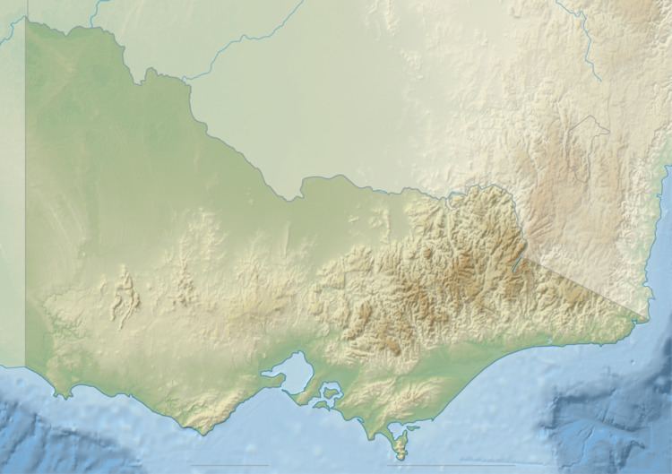
Map of Taponga River, Eildon VIC, Australia
Course
The Taponga River rises below Rough Hill, part of the Great Dividing Range and the river flows generally north by east through the Big River State Forest, joined by four minor tributaries before reaching its confluence with the Big River south of Eildon. The river descends 521 metres (1,709 ft) over its 15-kilometre (9.3 mi) course.
Etymology
The name of the river is derived from the Australian Aboriginal Daungwurrung word tap, meaning a bronzewing pigeon. The river has variously been called the Wild Dog River and the Right Hand Branch of the Big River.
Recreation
The river is popular for fishing, with abundant rainbow trout to 220 grams (7.8 oz) and a few large brown trout in the period from April to June. There are usually some small river blackfish.
A camping area is available, approximately 19 kilometres (12 mi) east of Marysville on the Eildon–Jamieson Road or the Big River State Forest Road. There is no booking system for the camp site.