
Country Nepal Headquarters Damauli Area 1,546 km² | Established 1872 Time zone NPT (UTC+5:45) Zone Gandaki Zone | |
 | ||
Region Western Development Region, Nepal | ||
Tanahun District (Nepali: तनहुँ जिल्ला Listen ), a part of Province No. 4, is one of the seventy-five districts of Nepal. The district, with Damauli as its district headquarters, covers an area of 1,546 km² and has a population (2011) of 323,288. Previously the town of Bandipur was its district headquarter. This district lies in the middlemost of country Nepal. The postal code of Tanahun is 33900. Maharisi Veda Vyash (महर्षी वेदव्यास), author of the great Hindu epic Mahabharata, was born in Damauli Tanahun at the meeting point of river Seti and Madi. The headquarter of tanahun is named as Vyas Municipality after his name. Vyash gufa (where sage vyash used to meditate) is located near confluence of two rivers seti and madi in Damauli.
Contents
- Map of Tanahun Nepal
- Tanahun damauli nepal
- Coordinates and location type
- Major religious spots
- Municipalities and Village Development Committees VDCs
- Most Famous Festival
- Map Of Tanahun
- References
Map of Tanahun, Nepal
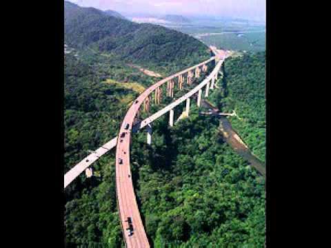
Tanahun damauli nepal
Coordinates and location type
Major religious spots प्रमुख धार्मिक स्थलहरु
Municipalities and Village Development Committees (VDCs)
Most Famous Festival
Map Of Tanahun
References
Tanahun District Wikipedia(Text) CC BY-SA