Country Nepal Population 37,109 (2011) | Zone Gandaki Zone Time zone NST (UTC+5:45) | |
 | ||
Website shuklagandakimun.gov.np Neighborhoods Dhorphirdi, Eklekhet, Mukhiya Dada, Lalim, Chhabdi Deurali, Mandre Tanahun, Galchhepani, Dhakal Basti | ||
Shuklagandaki (Nepali: शुक्लगण्डकी) is a municipality located in Tanahu District of Gandaki Zone in the Central Development Region, Nepal. The municipality was formed on 18 May 2014. It was formed by merging three Village Development Committees: Dhorphirdi, Dulegaunda and Khairenitar
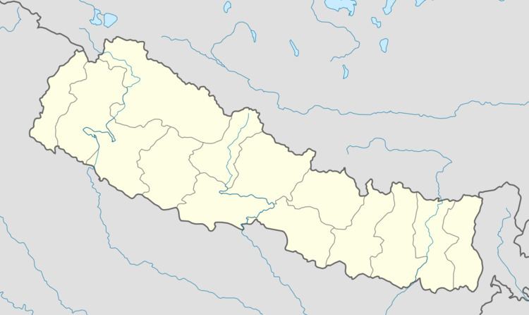
Map of Shuklagandaki, Nepal
This municipality has a high religious value. Dhorbarahi, one of the most famous goddess temples, is located in just a few kilometers far away from Dhorphirdi. Several small famous Hindu temples are located in this municipality. Along with the temples, it also has a Church and a Mosque.
Prithvi Highway goes through this Municipality. Several small roadways are connected to the main cities like Dulegaunda, Khairenitar, Kotre, etc.
At the time of 2011 Nepal Census, it had a population of 37,109.
