
District Tanahu District Local time Thursday 5:28 PM Area code 065 | Time zone Nepal Time (UTC+5:45) Population 7,256 (1991) | |
 | ||
Weather 29°C, Wind S at 3 km/h, 84% Humidity | ||
Purkot is a village development committee in Tanahu District in the Gandaki Zone of central Nepal. At the time of the 2011 Nepal census it had a population of 7,188! among them 3,044(male) 4,144(female). This VDC is located on the highway called vanu highway(Dumre-besishahar) and has a small town called Baishjangar where Police station, health posts, schools and some other major facilities available.This village is somehow called as a transit for another neighboring districts Lamjung and Gorkha. Well famous river Marshyandi flows through this place. The village consists of various casts of people such as major Brahman Tamang-Gurung including, Newar, and Chettris etc. and equally celebrates their festivals each other.Purkot:The main income sources for the VDC is remittance as well Agriculture and small business. ward number: 1-9 Baishjangar (ward no. 3/ 5) which is main city(bazar). Police station and school: ward no. 5 in Kharpani. Purkot has some major high school in the town which are Shree Kalika multiple campus and Karmada secondary school. b
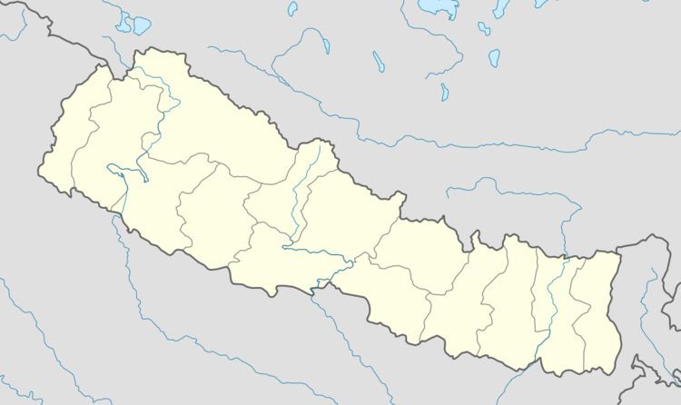
Map of Purkot, Nepal
Remittance send from middle east, Malysia USA, UK, Australia can easily get from Baisjangar, Tanahun. A bachelor level education has been already started in Kalika Multiple campus.
There is few holy place like Marshyangdi beni ghat sataal and Temples of five Hindu gods (Pancha Mandir) of Shiva, Bishnu, Krishna, Surya and Krishna Mandir is located aside Marsyangdi River coast at Baisjangar Tanahun. Marriage ceremony, Ekadasi Bratha, Purans are celebrated at this temple. A bus service to go Thanika than Temple is also available from Baishjangar.