
Local time Sunday 11:33 AM | Climate Cwb Population 10,680 (2001) | |
 | ||
Weather 19°C, Wind SE at 6 km/h, 65% Humidity | ||
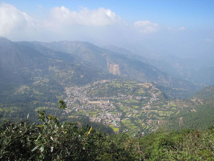
Tamghas, also Gulmi Tamghas or Tamghas Bazaar (Nepali: तम्घास) is the centre of Resunga Municipality, and the district headquarter of Gulmi district. It is located at 28°4'0N 83°15'0E with an altitude of 1838 metres (6033 feet). As of 2001 it had a population of 10, 680. There are significant cobalt reserves in the area.In the 1970s a road was planned between Tamghas and Palpa District.The village of Arkhale is located just to the northwest.
Contents
Map of Tamghas, 32600, Nepal
Notable landmarks
Tamghas contains the main educational institutions in Gulmi District including Arjun Boarding High School, Brilliant United Academy, Gandaki Boarding School, Vujelkharka School, Siddababa Higher Secondary School, Donbosco School, Buddha Lower Secondary School, Resunga Higher Secondary School, Mahendra Higher Secondary School and Reader's Public High School. The district government offices and the police headquarters is located in the town and the Nepalese Army also have a base here. The town is served by Tamghas Hospital, located just south of Tamghas Jail.Notable places of worship in Tamghas are Shivalaya, Bhagawati Mandir, Tamghas Vagawati Mandir and Siddhababa Mandir.
Media
To Promote local culture Tamghas has two FM radio stations Radio Sky - 88.4 MHz and Radio Resunga 106.2 MHz, Which are Community radio Stations.