
Country Nepal No. of VDC/s 79 Main language(s) Nepali Area 1,149 km² | Headquarters Tamghas Time zone NPT (UTC+5:45) Website ddcgulmi.gov.np Zone Lumbini Zone | |
 | ||
Region Western Development Region, Nepal | ||
Gulmi District (Nepali: गुल्मी जिल्ला Listen ), a part of Province No. 5, is one of the seventy-five districts of Nepal. The district, with Tamghas as its headquarters, covers an area of 1,149 km², had a population of 296,654 in 2001, 280,160 in 2011 and 268,597 in 2016.
Contents
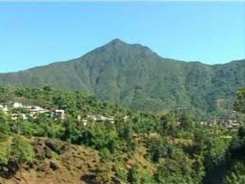
Map of Gulmi, Nepal
Introduction
The Gulmi District is renowned for coffee farming. Ruru, now also known as Ridi, is a market center where many temples are situated. Maghe Sankranti and other festivals are celebrated here, and is popular among both tourists and locals. Landmarks include Dhurkot's Bichitra Cave; Resunga, with its rich biodiversity and historic value; the religious and historical site Gyawa Kshetra,Charpala,Musikot, Isma, Wami Taksar and Purtighat .
The district government offices are in Tamghas, a small town and the only municipality of Gulmi, situated at the bottom of two hills Resunga and Arju t. There are only 75 VDCs along with one Municipality: Resunga. Gulmi is rich with natural resources such as cobalt as well as naturally beautiful views that favour tourism.
Communications
There are total of 76 post offices in the district including 1 main district post office and 14 ilaka police offices. There are nine telecenters, six FM radio stations, and eight cable TV networks. According to Nepal Telecom, there are 82,318 GSM mobile subscribers in the district as of 2015.