
Country Nepal Time zone NPT (UTC+5:45) Area 1,373 km² | Website Official Website Zone Lumbini Zone | |
 | ||
Region Western Development Region, Nepal | ||
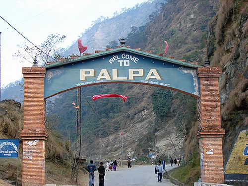
Palpa District (Nepali: पाल्पा जिल्ला Listen , a part of Province No. 5, is one of the seventy-five districts of Nepal, a landlocked country of South Asia. The district, with Tansen Municipality as its headquarters, covers an area of 1,373 km² and has a population (2011) of 261,180.
Contents
Map of Palpa, Nepal
Major Rivers
Major Lakes
Places of Attraction
Trivia
People have a saying that it looks similar to Nepal in term of its geographical borders.
References
Palpa District Wikipedia(Text) CC BY-SA