
Website tamenglong.nic.in Population 140,143 (2011) | Time zone IST (UTC+5:30) Area 4,391 km² ISO 3166 code ISO 3166-2:IN | |
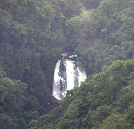 | ||
Tamenglong district (Pron:/tæmɛŋˈlɒŋ/) is one of the nine districts of Manipur state in northeastern India. As of 2011 it is the least populous district in the state.
Contents
Map of Tamenglong, Manipur
Geography
This district is bounded by Nagaland state on the north, by Senapati district on the north and east, by Churchandpur district on the south and by Imphal West district and Assam state on the west. Tamenglong town is the headquarters of this district. The district occupies an area of 4391 km.
Economy
In 2006 the Ministry of Panchayati Raj named Tamenglong one of the country's 250 most backward districts (out of a total of 640). It is one of the three districts in Manipur currently receiving funds from the Backward Regions Grant Fund Programme (BRGF).
Administrative Divisions
The district is divided into 3 sub-divisions:
Recently, Noney District is carved out from Tamenglong district comprising sub-divisions of Longmei (Noney), Nungba, Khoupum, and Haochong.
Khoupum is a very populated area and a home town of Manipur Dy. Chief Minister Shri. Gaikhangam Gangmei.
Demographics
According to the 2011 census Tamenglong district has a population of 140,143, roughly equal to the nation of Saint Lucia. This gives it a ranking of 607th in India (out of a total of 640). The district has a population density of 32 inhabitants per square kilometre (83/sq mi) . Its population growth rate over the decade 2001-2011 was 25.69%. Tamenglong has a sex ratio of 953 females for every 1000 males, and a literacy rate of 70.4%.
Languages
Sino-Tibetan languages spoken in Tamenglong district include: