Country Chile Area rank 1 Area code(s) 56 + 57 | Region Tarapacá Time zone CLT (UTC-4) Area 39,390 km² | |
 | ||
Website Government of Tamarugal Points of interest Volcán Isluga National, Atacama Giant, Isluga, Geoglifos de Pintados, Lagar de Matilla Destinations | ||
Tamarugal Province (Spanish: Provincia de Tamarugal) is one of two provinces in the northern Chilean region of Tarapacá (I). The capital is the city of Pozo Almonte.
Contents
- Map of Tamarugal TarapacC3A1 Region Chile
- Name
- Geography and demography
- Administration
- Communes
- References
Map of Tamarugal, Tarapac%C3%A1 Region, Chile
Name
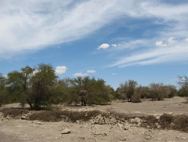
The province is named after Pampa del Tamarugal. Spanish name:
Geography and demography
According to the 2002 census by the National Statistics Institute (INE), the province spans an area of 39,390.5 km2 (15,209 sq mi) and had a population of 22,531 inhabitants (14,175 men and 8,356 women). It is the seventh largest and ninth least populated province in the country with a population density of 0.6/km2 (2/sq mi). Between the 1992 and 2002 censuses, the population grew by 63.5% (8,748 persons).
Administration
The province is administered by a presidentially appointed governor. Claudio Vila Bustillos was appointed by president Michelle Bachelet.
Communes
As a province, Tamarugal is a second-level administrative division of Chile, which is further subdivided into five communes (comunas).
