
 | ||
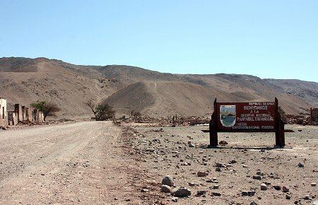
reserva nacional pampa del tamarugal
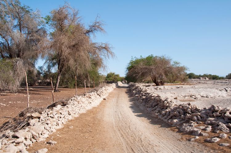
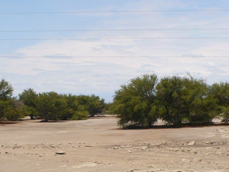
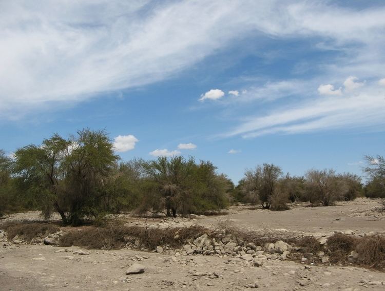
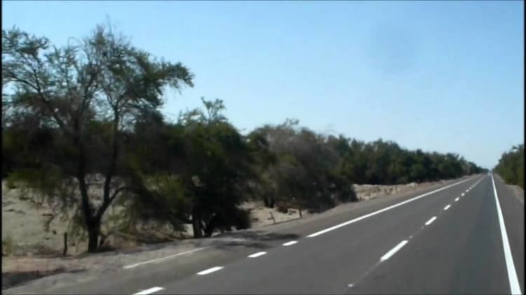
Pampa del Tamarugal ("Plateau of the Tamarugal") is a vast plain encompassing a significant portion of the Norte Grande, Chile, and originally named for the Prosopis tamarugo trees that used to cover its surface. It is located between the parallels 19°30’ and 22°15’ south latitude and is considered part of the Atacama Desert. It is bounded on the west by the Chilean Coastal Range and on the east by the western slopes of the Andes. The plain occupies a surface area of 12,500 km² with an average elevation of 1100 m.
Contents
- reserva nacional pampa del tamarugal
- Reserva nacional pampa del tamarugal salar de llamara
- Tourism
- References
Reserva nacional pampa del tamarugal salar de llamara
Tourism

Among the major tourist attractions in the Pampa del Tamarugal are the world heritage site Humberstone and Santa Laura Saltpeter Works, the town of La Tirana, and the Pampa del Tamarugal National Reserve.
References
Pampa del Tamarugal Wikipedia(Text) CC BY-SA