
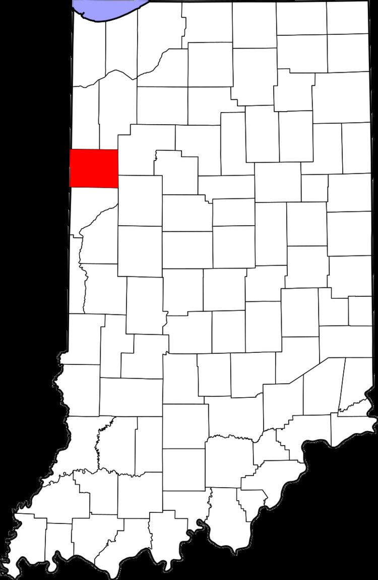
Country United States County Benton FIPS code 18-74834 Zip code 47944 | State Indiana Elevation 234 m Local time Saturday 4:28 PM | |
 | ||
Founded by Ezekiel and Marietta Talbot Weather 20°C, Wind S at 16 km/h, 61% Humidity | ||
How to say or pronounce usa cities talbot indiana
Talbot is an unincorporated community in Hickory Grove Township, Benton County, Indiana. It is part of the Lafayette, Indiana Metropolitan Statistical Area.
Contents
- How to say or pronounce usa cities talbot indiana
- Map of Talbot IN 47944 USA
- History
- Geography
- References
Map of Talbot, IN 47944, USA
History
The town of Talbot was laid out by Ezekiel M. Talbot (chief engineer of the LM&B Railroad) and his wife Marietta on February 18, 1873, the plat consisting of 71 lots. The couple would also lay out the nearby town of Ambia two years later. In the 1920s, Talbot had a population of about 200, plus a Methodist church, grain elevator, grade school and eight to ten businesses.
Geography
Talbot is located at 40°30′19″N 87°27′15″W in Hickory Grove Township and is surrounded by open, fertile farmland. The Kankakee, Beaverville and Southern Railroad passes through the town, and intersects the short Bee Line Railroad a mile to the west at a point known as Handy.