
Country United States Time zone EST (UTC-5) Elevation 227 m Population 409 (2010) | Organized March 1876 FIPS code 18-33358 Area 74.9 km² Local time Friday 9:00 PM | |
 | ||
Weather -3°C, Wind N at 13 km/h, 40% Humidity | ||
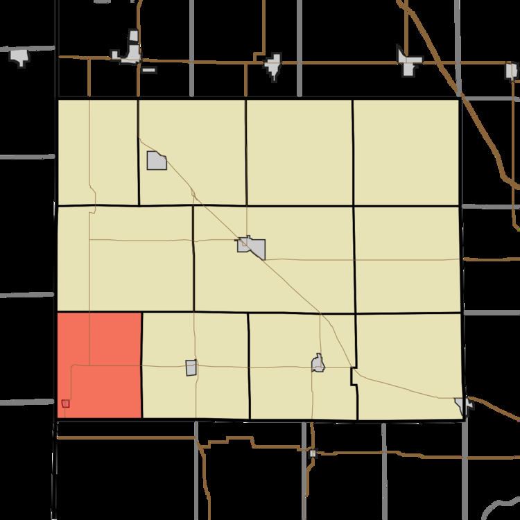
Hickory Grove Township is one of eleven townships in Benton County, Indiana. As of the 2010 census, its population was 409 and it contained 172 housing units. It was organized in March 1876 and named for a grove of hickory trees that grew within its borders in the 19th century.
Contents
- Map of Hickory Grove Township IN USA
- Geography
- Cities and towns
- Unincorporated towns
- Adjacent townships
- Major highways
- Cemeteries
- References
Map of Hickory Grove Township, IN, USA
Geography
According to the 2010 census, the township has a total area of 28.9 square miles (75 km2), all land.
Cities and towns
Unincorporated towns
Adjacent townships
Major highways
Cemeteries
The township contains one cemetery, Totheroh.
References
Hickory Grove Township, Benton County, Indiana Wikipedia(Text) CC BY-SA