 | ||
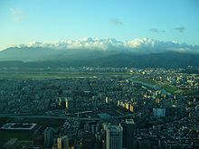
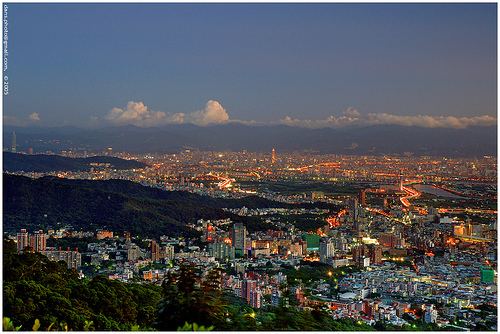
View of the taipei basin city center from thumb rock in nangang
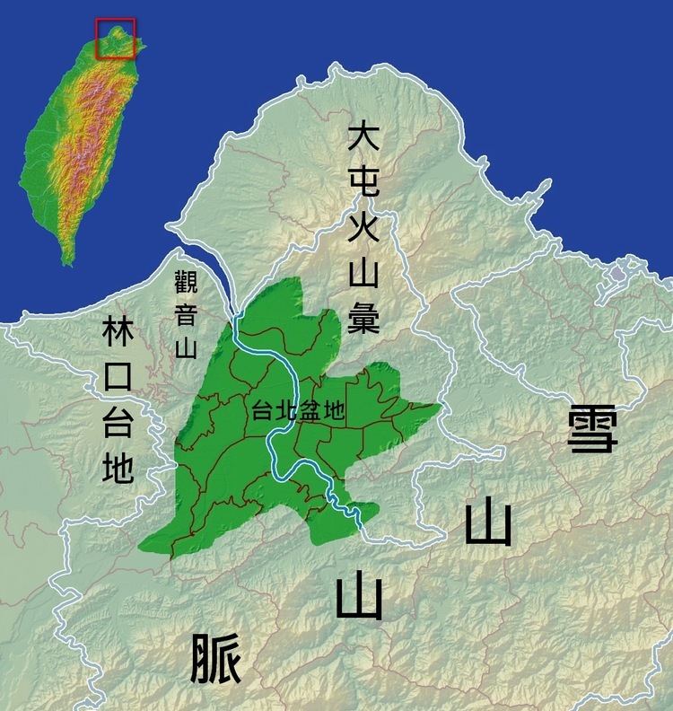
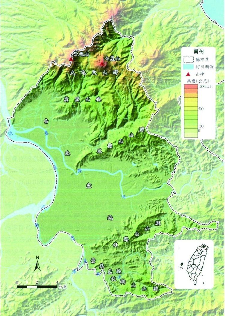
Taipei Basin (Chinese: 臺北盆地; pinyin: Táiběi Péndì) is a geographic region in northern Taiwan. It is the second largest basin in Taiwan. The basin is bounded by Yangmingshan to the north, Linkou mesa to the west, and the Ridge of Xueshan Range to the southeast. The shape of the basin is close to a triangle. The three vertices are Nangang, Huilong of Xinzhuang, and Guandu of Beitou.
Contents
The main rivers in Taipei Basin include the Tamsui, Keelung, Dahan and Xindian.
In the prehistoric era, Taipei Basin was home to Ketagalan tribes. Han Chinese did not settle in the region until the 18th century. Today, Taipei Basin is within the boundaries of Taipei City and New Taipei City and is the largest metropolitan area in Taiwan.
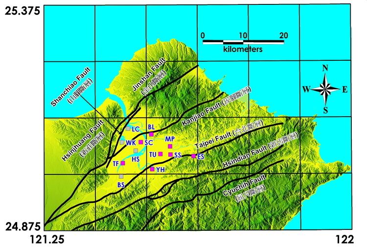
Geology
The Taipei Basin is a subsiding half-graben.
Pollution
The Taipei Basin rivers are heavily polluted by both raw sewage and industrial pollution from illegal industry. The natural river restoration is in the agenda of the Taipei City Government, Taipei Central Government and several citizen organizations.