
Native name 基隆河 Basin size 493 km (190 sq mi) Basin area 440.8 km² | Length 96 km Mouth Tamsui River Bridges Minquan Bridge | |
 | ||
Main source Huo Shou Liao Mountain (火燒寮山)560 m (1,840 ft) | ||
Keelung river ride on a youbike
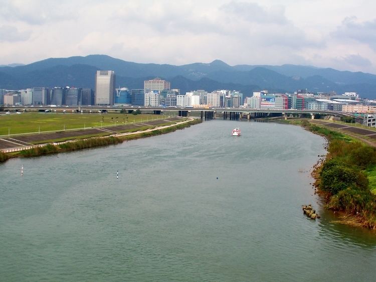
Keelung River (Chinese: 基隆河; pinyin: Jīlóng Hé; Wade–Giles: Chi1-lung2 Ho2) is a river in northern Taiwan.
Contents
Map of Keelung River, Taiwan
The Keelung River originates in the mountains west-northwest of the town of Jingtong in Pingxi District, New Taipei City, flows down to a rift valley and then flows ENE to Sandiaoling. Then it flows northward to a point between Chiufen and Keelung City, and then heads back in a general WSW direction to Taipei, where it joins the Tamsui River and flows out to sea. The land around the Keelung river was rich in gold and coal, and many areas were mined.
Pollution
The Keelung River is heavily polluted by both raw sewage and industrial pollution from illegal industry. The restoration of the natural river is on the agenda of the Taipei City Government, Taipei Central Government and several citizen organizations.
Events
During the 1880s, the French General Jacques Duchesne fought the Keelung Campaign in the river basin, defeating the Chinese.
On 4 February 2015, TransAsia Airways Flight 235, an ATR-72 operated by TransAsia Airways crashed into the river, close to the Nanhu Bridge in Taipei, resulting in 43 fatalities and 17 injuries.