
Length 81 km | Basin area 921 km² | |
 | ||
Main source Yingzi Mountain Range700 metres (2,300 ft) Basin size 921 square kilometres (356 sq mi) Bridges Yongfu Bridge, Huazhong Bridge, Bitan Bridge, 萬板大橋, Zhong'an Bridge | ||
The Xindian River (or Xindian Creek) (Chinese: 新店溪; pinyin: Xīndiàn Xī; Wade–Giles: Hsin1-tien4 Hsi1; Pe̍h-ōe-jī: Sin-tiàm-khe) is a creek in northern Taiwan. It flows through New Taipei and the capital Taipei for 82 km.
Contents
Map of Taiwan, %E6%96%B0%E5%BA%97%E6%BA%AA
OverviewEdit
The Xindian River is one of the three major tributaries into the Tamsui River. Its main tributary is the Beishi River which originates in Shuangxi District, New Taipei City at an elevation of 700 meters. The Feitsui Dam spans the Beishi southeast of Taipei. It flows west past Xindian before merging with the Nanshi River; it is at this point that it becomes "Xindian River". It then turns north and merges with the Chingmei River, before finally merging with the Dahan River and feeding into the Tamsui River.
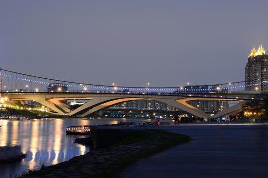
The creek is one of the main sources for drinking water in Taipei City. According to the Taipei City Running Water Center, over 4 million Taipei residents obtain 97% of their drinking water from the river. The first bridge over the creek was constructed in 1937 and at 200 meters long connected the areas of Zhonghe and Xindian. Today, there are 22 bridges that span the creek.
PollutionEdit
The Xindian Creek is heavily polluted by both raw sewage and industrial pollution from illegal industry. The natural watercourse restoration is on the agenda of the Taipei City Government, Taiwan Central Government and several citizen organizations.