
Time zone CET (UTC+1) Area 36.1 km² Population 1,258 (1 Apr 2009) District Neusiedl am See District | Elevation 122 m Local time Saturday 3:20 AM Postal code 7162 | |
 | ||
Weather 5°C, Wind NW at 10 km/h, 79% Humidity | ||
Tadten (Hungarian: Mosontétény) is a village in the district of Neusiedl am See in Burgenland in Austria.
Contents
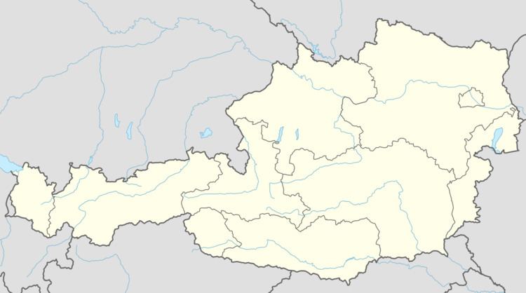
Map of 7162 Tadten, Austria
Facts
Tadten is a wine growing village with 1,234 inhabitants and lies at the transition from the Seewinkel region to the Hungarian puszta. In 1357 Tadten, then called "Tetun", was mentioned in a conflict of possession by the Raab chapter. The first settlement dates back to the 2nd century BC. The village has been destroyed several times by the Turks and Kurruzzen. In the 17th century Tadten came into the possession of the Esterhazy family. A Roman Catholic church was built in 1804 under Count Esterhazy. The church was enlargened in 1954 to its present size.
120 m Elevation 1355 Inhabitants
Tadten national park village
The area south of the village up to the state border at the "Einserkanal" is covered by marshy meadows of the HANSAG.