
Time zone CET (UTC+1) Area 125 km² Population 5,780 (2012) | Postal code 5940 Local time Monday 10:58 PM Area code 68 | |
 | ||
Weather 6°C, Wind NW at 5 km/h, 52% Humidity | ||
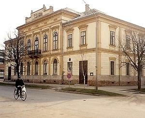
Tótkomlós (Slovak: Slovenský Komlóš) is a town in Békés County, Hungary.
Contents
Map of T%C3%B3tkoml%C3%B3s, Hungary
Name
Komlós means "(place) with hops" in Hungarian, while prefix Tót is the word for Slovaks in old Hungarian. Hops also can be found in the coat of arms of the town.
Geography
Tótkomlós is located in the Great Hungarian Plain 225 kilometres (140 miles) southeast from Budapest. Mezőtúr-Orosháza-Mezőhegyes railway line crosses the town.
History
The Medieval village was ruined due to the Ottoman wars, native Hungarian population fled from the area. It was rebuilt after 1715 with Slovak settlers. Hungarians became the majority after the Czechoslovak-Hungarian population exchange.
People
Twin towns — Sister cities
Tótkomlós is twinned with:
References
Tótkomlós Wikipedia(Text) CC BY-SA