
Reference no. DE: 2742 Length 44 km | Source Kalenborn, Ahrweiler Country Germany | |
 | ||
Main source Near Kalenborn (bei Altenahr)ca. 330 m above sea level (NHN) River mouth Near Bliesheim into the Erftca. 106 m above sea level (NHN) | ||
The Swist is a stream, 43.6 kilometres long, in the German Rhineland. It rises on the northern edge of the Eifel at 330 metres above sea level and empties rom the right and southeast into the Rhine tributary, the Erft, between Weilerswist and Bliesheim.Occasionally the Swist is also called the Swistbach, and locals often just call it der Bach ("the stream").
Contents
Map of Swistbach, Germany
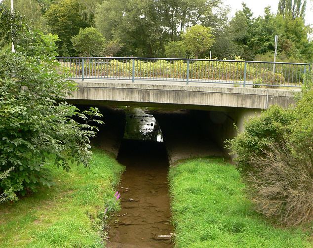
The Swist flows through the municipality Swisttal, the town of Meckenheim and Flerzheim, a village in the borough of Rheinbach. There are cycle paths by the side of the stream along this stretch. The Swist gave its name to the municipality of Swisttal and the town of Weilerswist. Its source area is situated at the northern edge of the Eifel. The Swist used to be considered the longest stream in Europe until it was canalised and straightened.
Course
Its source lies at 330 m above sea level (NN) in the northern part of the Eifel in the Ahr Hills, north of the village of Kalenborn in the collective municipality of Altenahr in the county of Ahrweiler. The Swist has an average gradient of 5 ‰ and flows initially to Vettelhoven (Grafschaft) in a northeasterly direction and then descends at a gradient of just 1.3 ‰ through the Fore-Eifel. It continues along the western slopes of the Ville in the börde landscape of the Rheinbach Loess Plateau through Meckenheim, Flerzheim, Morenhoven, Heimerzheim and Metternich. The municipality of Swisttal and the village of Weilerswist derive their names from the stream. At 106 m above NN the Swist empties into the Erft between Weilerswist and Bliesheim.
Catchment
Its catchment area lies between that of the Rhine near Bonn and its smaller tributaries like the Hardtbach or Alfterer Bornheimer Bach to the northwest and that of its parent river, the Erft around Euskirchen right in the west and peters out quickly towards the north-northwest. It is rural and, in the open country, arable fields predominate. Around the upper courses of the stream and its especially along its important left-hand tributaries there is a large continguous forest as well as pastures and meadows. The largest part of the catchment belongs to the state of North Rhine-Westphalia, the source region is in Rhineland-Palatinate.
Tributaries
The most important tributary of the Swist is the Steinbach, which joins from the left at river kilometre 15.7 as the Jungbach. Between Schweinheim and Essig it bears the name Orbach. The 20.5-kilometre-long stream has a catchment of 48.227 km² which is about 17% that of the Swist. The tributaries of the Swist are listed below.
River history
Originally the River Ahr flowed in what is now the riverbed of the Swist. After the uplifting of the Ahr Hills, and its route northwards was barred, the Ahr tried to find a way directly to the Rhine.
In places it is said that the Swist is the longest stream in Europe. This probably goes back to when its course was marked by wide meanders in the area of the low gradient between Vettelhoven and its mouth. Since the straightening of the Swist in the early 20th century and certainly no later than its canalisation in the 1960s it has probably lost this record.
The Roman aqueduct to Cologne crossed the valley of the Swist between Meckenheim and Rheinbach on an arched bridge which was 1,400 metres long and up to 10 metres high. Archaeologists have worked out that the bridge must have once had 295 arches with an inside width of 3.56 metres. Nothing is left of the structure apart from a low strip of rubble. In Lützermiel the foundations of a Prussian bridge have survived. The bridge once carried the district road (Bezirksstraße) from Bonn to Schleiden, built in 1823, over the Swist.