
Admin. region Köln Elevation 133 - 177 m (−448 ft) Area 62.27 km² Local time Monday 3:06 AM | Time zone CET/CEST (UTC+1/+2) Population 18,215 (31 Dec 2010) Postal code 53913 | |
 | ||
Weather 6°C, Wind W at 6 km/h, 93% Humidity | ||
Swisttal is a municipality in the Rhein-Sieg district, in North Rhine-Westphalia, Germany. Swisttal received its names from a brook named Swist, which flows in the middle of the municipality.
Contents
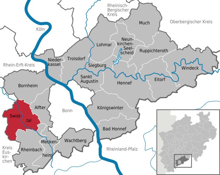
Map of Swisttal, Germany
Geography
Swisttal is situated approximately 15 km west of Bonn. It covers an area of approx. 65 km² (of which 10 km² is forest, part of the Kottenforst, and 49 km² is used for agriculture).
Subdivisions
The municipality consists of the following parishes:
as well as the hamlets of Hohn, Vershoven, Moemerzheim and Muettinghoven. The local administration is situated between the villages Ludendorf and Essig.
Buildings and places
In the vicinity of the Buschhoven is the route of the former Eifel water pipeline (Eifel Aqueduct), a Roman aqueduct built to supply Cologne with drinking water. The water castle in Morenhoven, the castle of Heimerzheim and the reconciliation church in Buschhoven with its reconditioned romance organ, are worth mentioning.
Parks
Kottenforst-Ville Nature Park, a natural preserve.