
District Ahrweiler Time zone CET/CEST (UTC+1/+2) Area 57.55 km² Population 10,990 (31 Dec 2008) | Elevation 200 m (700 ft) Postal codes 53501 Local time Saturday 2:22 AM Postal code 53501 | |
 | ||
Weather 7°C, Wind SW at 21 km/h, 72% Humidity | ||
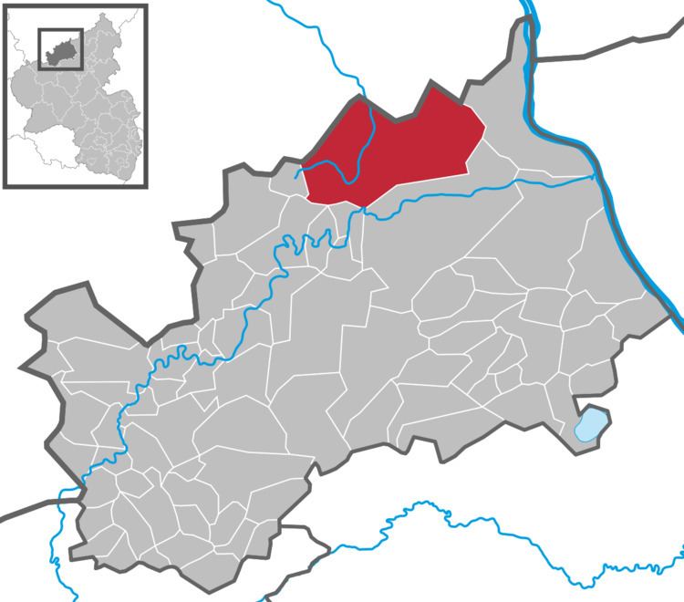
Grafschaft is a municipality in the district of Ahrweiler, in Rhineland-Palatinate, Germany. It is situated approximately 20 km south of Bonn.
Map of 53501 Grafschaft, Germany
Grafschaft is famous for its Rheinischer Zuckerrübensirup a PGI protected sugar-beet syrup.
The following 17 villages belong to Grafschaft:
The total population is 11,500 inhabitants.
It has been used as a special stage for the Rallye Deutschland.
References
Grafschaft, Rhineland Wikipedia(Text) CC BY-SA