
- elevation 2,120 m (6,955 ft) - elevation 263 m (863 ft) | - location near Khancoban | |
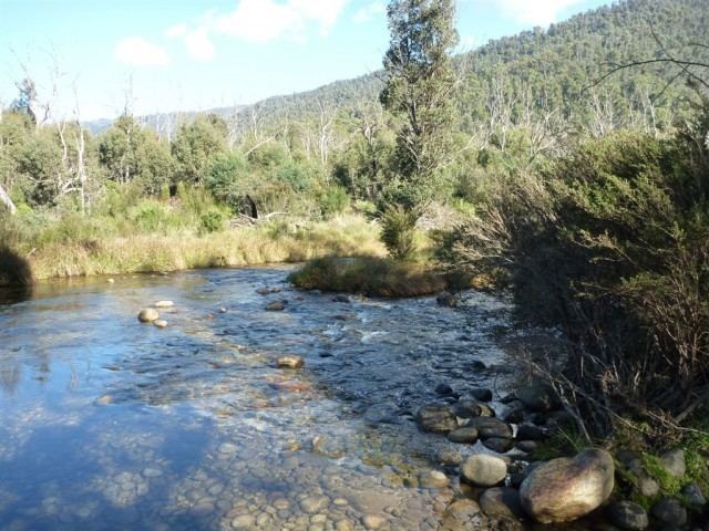 | ||
Fly fishing rafting on the swampy plain river
Swampy Plain River (and in some places Swampy Plains River), a perennial stream that is part of the Murray catchment within the Murray–Darling basin, is located in the Snowy Mountains bioregion of New South Wales, Australia.
Contents
- Fly fishing rafting on the swampy plain river
- Map of Swampy Plain River New South Wales Australia
- Strzelecki hiking club 10 02 2012 6am alpine way swampy plain river bridge geehi nsw australia
- Course and features
- References
Map of Swampy Plain River, New South Wales, Australia
Strzelecki hiking club 10 02 2012 6am alpine way swampy plain river bridge geehi nsw australia
Course and features
The river rises on the southern slopes of Mount Kosciuszko within the Kosciuszko National Park and, at an elevation of 2,120 metres (6,960 ft), is believed to be the highest river in Australia. From its headwaters, the river flows generally south, north and north west, joined by nine tributaries including the Geehi River, before reaching its confluence with the Murray River, near Khancoban, upstream from the Bringenbrong Bridge; descending 1,860 metres (6,100 ft) over its 59 kilometres (37 mi) course.
Swampy Plain River is impounded by Lake Cootapatamba close to its source, and by Khancoban Dam, close to its mouth. Located immediately upstream of the Khancoban Reservoir is the Murray-2 Power Station, a 550 megawatts (740,000 hp) conventional hydroelectric power station. Water from the power plant is discharged into the reservoir, before passing over the spillway of Khancoban Dam, and down the Swampy Plain River.
The river passes near the towns of Geehi and Khancoban.
The river is a popular place for fly fishing, with a significant stock of brown and rainbow trout.