
- elevation 108 m (354 ft) | - elevation 746 m (2,448 ft) | |
 | ||
Mouths | ||
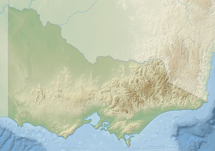
Swamp Creek is a perennial stream of the Mitchell River catchment, located in the Alpine and East Gippsland regions of the Australian state of Victoria.
Features and location
Swamp Creek rises below an unnamed peak, part of the Great Dividing Range, east of Dargo in a remote state forestry area. The creek flows generally south by southeast, before reaching its confluence with the Wentworth and Wonnangatta rivers to form the Mitchell River north of the Mitchell River National Park, in the Shire of East Gippsland. The creek descends 638 metres (2,093 ft) over its 17-kilometre (11 mi) course.
References
Swamp Creek (Mitchell, East Gippsland, Victoria) Wikipedia(Text) CC BY-SA