
OS grid reference SK440686 Post town CHESTERFIELD Dialling code 01246 | Sovereign state United Kingdom Local time Saturday 6:41 PM Civil parish Sutton-cum-Duckmanton | |
 | ||
Weather 12°C, Wind W at 16 km/h, 68% Humidity | ||
Sutton scarsdale hall
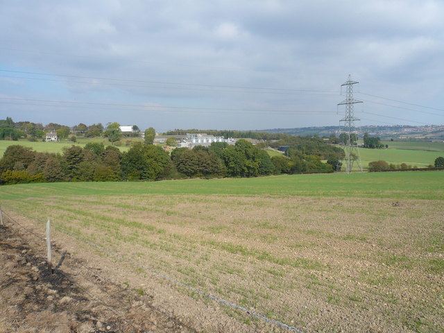
Sutton Scarsdale is a very small village in Derbyshire, England. It is in the North East Derbyshire district. It is very close to the M1 motorway. It is in the civil parish of Sutton-cum-Duckmanton.
Contents
- Sutton scarsdale hall
- Map of Sutton Scarsdale Chesterfield UK
- Sutton scarsdale hall derbyshire
- Early history
- References
Map of Sutton Scarsdale, Chesterfield, UK
The settlement is notable for a large, ruined former stately home called Sutton Scarsdale Hall.
Near to the settlement are the villages of Heath, Temple Normanton and Arkwright Town.
Sutton scarsdale hall derbyshire
Early history
This manor was in the Domesday book in 1086. Under the title of “The lands of Roger de Poitou” it said:
In Sutton Scarsdale Stenulf had four carucates of land to the geld. Land for five ploughs. The lord has there one plough and six villans and one bordar with one plough, There is a mill rendering two shillings and eight acres of meadow. Woodland pasture half a league long and three furlongs broad. TRE worth forty shillings now twenty shillings.