
OS grid reference SK427713 Post town CHESTERFIELD Dialling code 01246 | Sovereign state United Kingdom Local time Wednesday 1:08 PM Civil parish Sutton-cum-Duckmanton | |
 | ||
Population 1,582 (In Sutton-cum-Duckmanton. 2011) Weather 8°C, Wind SW at 18 km/h, 67% Humidity | ||
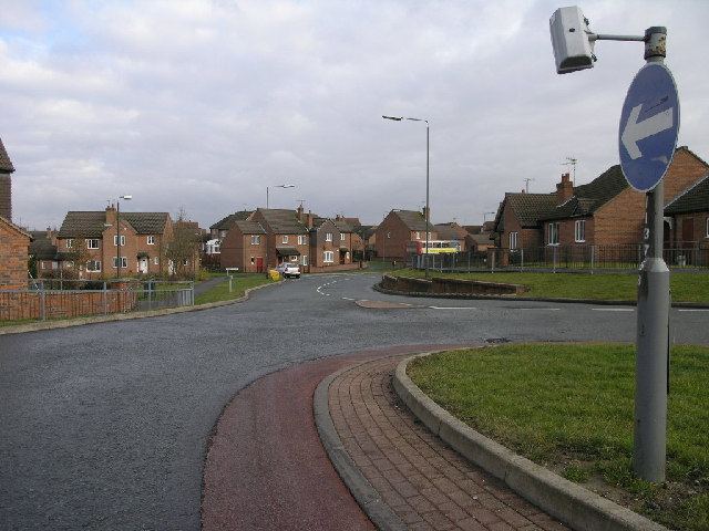
Arkwright Town, commonly referred to as Arkwright, is a settlement in North East Derbyshire, England that is notable for having moved its location in the early 1990s. Despite its name, the settlement has no official town status.
Map of Arkwright Town, Chesterfield, UK
Located between Chesterfield and Bolsover on the A632 road it was formerly a coal mining village. Arkwright Colliery closed in 1988 and it was then discovered that the community was threatened by emissions of methane gas that caused some of its houses to be evacuated. The whole settlement was owned by British Coal and a decision was taken, along with Derbyshire County Council, to transfer ownership of the 52 properties to a housing trust, construct a new settlement of 56 properties to the north of the site affected by methane, and move all the residents. Construction was completed by 1995 when the old Arkwright Town was demolished. Part of the deal with British Coal included the use of open cast mining on an 100 acre site which began in November 1993 and continued for some years.
A new nature walk was established in 2010 using the uninhabitable waste land that was once used as a railway line.