
Area 3,766 km² Population 4,006 (2013) Unemployment rate 3.9% (Apr 2015) | Website www.co.sutton.tx.us Founded 1887 Cities Sonora | |
 | ||
Rivers North Llano River, Fort Terrett Spring, McCarty Creek | ||
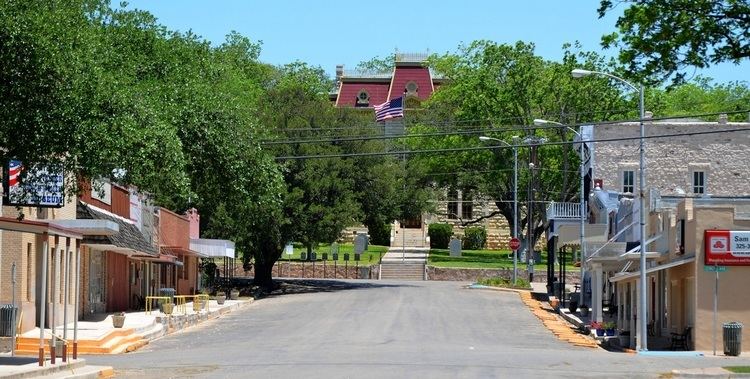
Sutton County is a county located on the Edwards Plateau in the U.S. state of Texas. As of the 2010 census, the population was 4,128. Its county seat is Sonora. The county was created in 1887 and organized in 1890. Sutton County is named for John S. Sutton, an officer in the Confederate Army.
Contents
- Map of Sutton County TX USA
- History
- Geography
- Major highways
- Adjacent counties
- Demographics
- Education
- City
- Ghost Towns
- References
Map of Sutton County, TX, USA
History
Geography
According to the U.S. Census Bureau, the county has a total area of 1,454 square miles (3,770 km2), of which 1,454 square miles (3,770 km2) is land and 0.5 square miles (1.3 km2) (0.03%) is water.
Major highways
Adjacent counties
Demographics
As of the census of 2000, there were 4,077 people, 1,515 households, and 1,145 families residing in the county. The population density was 3 people per square mile (1/km²). There were 1,998 housing units at an average density of 1 per square mile (1/km²). The racial makeup of the county was 45.28% White, 0.25% Black or African American, 0.42% Native American, 0.17% Asian, 2.27% from other races, and 1.62% from two or more races. 49.99% of the population were Hispanic or Latino of any race.
There were 1,515 households out of which 38.20% had children under the age of 18 living with them, 63.60% were married couples living together, 7.70% had a female householder with no husband present, and 24.40% were non-families. 22.60% of all households were made up of individuals and 9.60% had someone living alone who was 65 years of age or older. The average household size was 2.67 and the average family size was 3.15.
In the county, the population was spread out with 28.80% under the age of 18, 6.70% from 18 to 24, 27.70% from 25 to 44, 24.40% from 45 to 64, and 12.50% who were 65 years of age or older. The median age was 36 years. For every 100 females there were 99.50 males. For every 100 females age 18 and over, there were 96.00 males.
The median income for a household in the county was $34,385, and the median income for a family was $38,143. Males had a median income of $31,193 versus $18,587 for females. The per capita income for the county was $17,105. About 14.10% of families and 18.00% of the population were below the poverty line, including 25.20% of those under age 18 and 16.10% of those age 65 or over.
Education
Sutton County is served by the Sonora Independent School District based in Sonora.