
Easiest route Easy scramble First ascent 1906 Province Alberta | Topo map NTS 83C/06 Elevation 3,315 m Prominence 1,014 m Mountain range Canadian Rockies | |
 | ||
Similar Mushroom Peak, Mount Michener, Mount Wilcox, Diadem Peak, Mount Brazeau | ||
Sunwapta peak
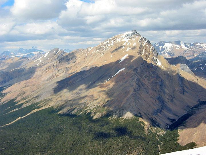
Sunwapta Peak is a peak located in the Sunwapta River valley of Jasper National Park, just north of the Columbia Icefield. The peak was named in 1892 after the Stoney Indian word "Sunwapta" meaning "turbulent river". The mountain can be seen from the Icefields Parkway (Highway 93).
Contents
- Sunwapta peak
- Map of Sunwapta Peak Improvement District No 12 AB Canada
- Sunwapta peak summit
- Routes
- References
Map of Sunwapta Peak, Improvement District No. 12, AB, Canada
Sunwapta peak summit
Routes
The normal climbing route is via the southwest slopes, requiring an elevation gain of 1,735 m (5,692 ft) to the summit from the trail head located beside the Icefields Parkway.
References
Sunwapta Peak Wikipedia(Text) CC BY-SA