
Average depth 25 m (82 ft) Catchment area 16.2 km² Outflow location River Sulby | Primary inflows Area 62 ha Catchment area 16.2 km² Inflow source River Sulby | |
 | ||
Surface area 62 hectares (150 acres) Address Tholt-e-Will Plantation, y, A14, Isle of Man | ||
Sulby reservoir isle of man
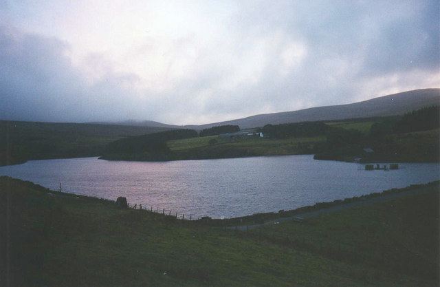
The Sulby Reservoir is the largest reservoir or lake in the Isle of Man.
Contents
Sulby reservoir isle of man by drone
DamEdit
The reservoir's dam was completed in 1982. It has a rock-fill embankment 73 metres (240 ft) high.
GeographyEdit
It is located in Sulby Glen near the source of the Sulby River, the longest river on the island. It is at the foot of Druidale, Glen Crammag, and a third, unnamed minor valley. It is at the junction of three parishes: Michael, Lezayre and Braddan. Sulby Reservoir is also about 1.5 miles (2.4 km) west of the summit of Snaefell, the island's highest peak. It is operated by the Isle of Man Water Authority.
UseEdit
The reservoir supplies St Johns, Peel, Kirk Michael, Ballaugh, Andreas, Bride, Ramsey and Laxey. Water can also be pumped to the West Baldwin Reservoir which supplies Douglas and the south of the island.
The reservoir also powers a hydro-electric power station one mile (1.6 kilometres) downstream. (Water flows through a pipeline from the reservoir to the power station. The power station is also fed by another, smaller reservoir, Block Eary.)
An energy recovery system was installed at the Sulby Water Treatment Works in 2013, to generate hydro-electric power from incoming water.