Elevation 7,492 ft (2,284 m) Width 33 mi (53 km) E/W Highest point Sublett Range High Point Mountains Sublett Range High Point | Length 55 mi (89 km) N/S Area 2,295 km² | |
 | ||
Peak Sublett Range High Point | ||
The Sublett Range is a mountain range in the U.S. states of Idaho (~94%) and Utah (~6%), spanning Cassia, Oneida, and Power counties, Idaho and reaching into Box Elder County, Utah. The Phosphoria Formation reaches its greatest thickness beneath the mountains.
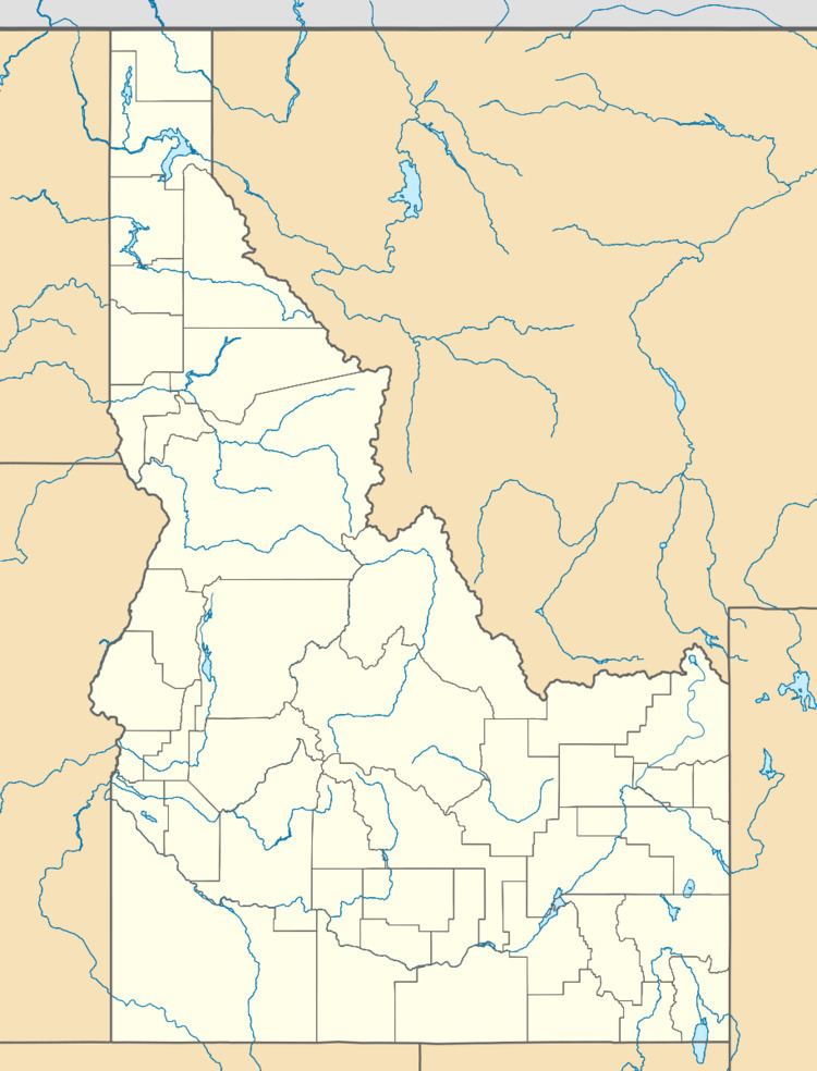
Map of Sublett Range, Idaho 83271, USA
The highest point in the range is known as the Sublett Range High Point at 7,492 feet (2,284 m), and the range is a part of the Basin and Range Province. The northern part of the mountains are part of the Sublett Division of the Minidoka Ranger District of Sawtooth National Forest. The range was named after the trapper William Sublette, who lived in the area in the 1830s.
The Raft River and Black Pine mountains are southwest of the range, while the Albion Mountains are to the west. The northern part of the mountains are in the Snake River watershed, which is a tributary of the Columbia River, while the southern section drains to the Great Salt Lake. The town of Snowville, Utah is south of the mountains, Malta, Idaho is to the west, and American Falls, Idaho is to the north. Interstate 84 passes just to the south and west of the mountains. Most of the mountains are covered in sagebrush steppe and meadows, but there can be pockets of Douglas fir on northern slopes.
