
Elevation 2,284 m | Topo map USGS Sublett Troughs Prominence 595 m | |
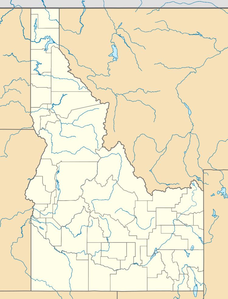 | ||
Location Power County, Idaho, U.S. | ||
Sublett Range High Point, at 7,492 feet (2,284 m) above sea level is the highest peak in the Sublett Range of Power County in southern Idaho. Sublett Range High Point is located in the east-central part of the range north of Snowville, Utah, and east of Malta, Idaho, and south of American Falls, Idaho in the Sublett Division of the Minidoka Ranger District of Sawtooth National Forest.
Map of Sublett Range High Point, Idaho 83271, USA
Sublett Range High Point is in the watershed of tributaries of the Snake River, which itself is a tributary to the Columbia River. View from the peak encompass the Raft River, Albion, and Black Pine mountain ranges, among others. The peak is a part of the Great Basin Divide and the Basin and Range Province. Interstate 84 passes to the west of the peak.
References
Sublett Range High Point Wikipedia(Text) CC BY-SA