
- location near Jerangle Length 38 km | - location east of Bredbo Source elevation 733 m | |
 | ||
The Strike-a-Light River, a perennial stream that is part of the Murrumbidgee catchment within the Murray–Darling basin, is located in the Monaro region of New South Wales, Australia.
Contents
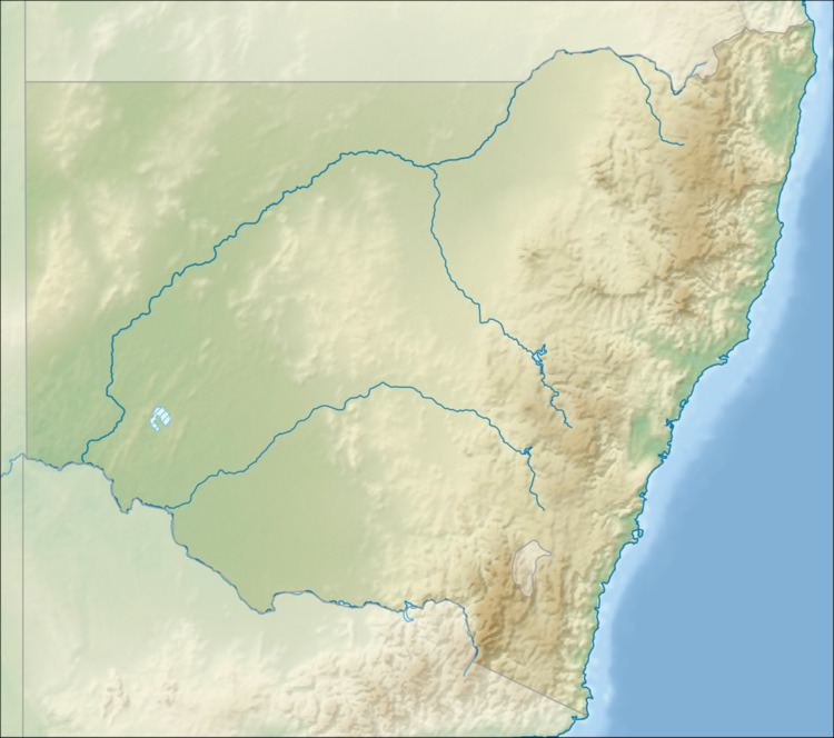
Map of Strike-a-light River, New South Wales, Australia
The river rises on the western slopes of the Great Dividing Range, near Jerangle, and flows generally north north-west, north-west, south-west and then south, joined by three minor tributaries, before reaching its confluence with the Bredbo River, east of Bredbo; descending 464 metres (1,522 ft) over its 38-kilometre (24 mi) course.
Flora and fauna
Strike-a-Light River flows through the Strike-a-Light Nature Reserve.
The Strike-a-Light River is inhabited by a number of amphibian species Bibron's toadlet (Pseudophryne bibronii), common eastern froglet (Crinia signifera), pobblebonk (Limnodynastes dumerilii), spotted grass frog (Limnodynastes tasmaniensis) and Verreaux's tree frog (Litoria verreauxii).
Vegetation communities through which the river passes include Scribbly Gum/Apple Box - Dry Shrub Forest, Ribbon Gum - Valley Forest as well as partially cleared areas of natural vegetation.