
 | ||
Strelcha Spur (Bulgarian: рид Стрелча, ‘Rid Strelcha’ \'rid 'strel-cha) is the rocky, partly ice-covered spur extending 5.3 km in south-southeast to north-northwest direction and 1.4 km wide, rising to 650 m in the west foothills of Bruce Plateau on Graham Coast in Graham Land, Antarctica. It has steep and partly ice-free west, north and east slopes, and surmounts Birley Glacier to the north and east, and a tributary to that glacier to the west.
Contents
The spur is named after the town of Strelcha in Southern Bulgaria.
Location
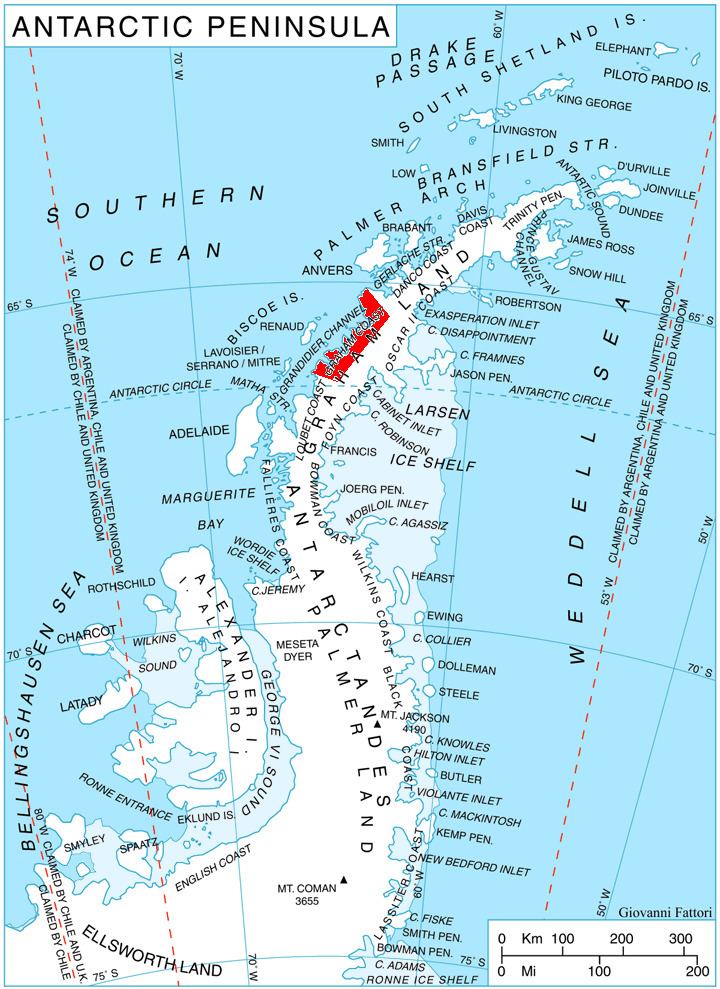
Strelcha Spur is located at 65°59′35″S 64°21′29″W, which is 9.56 km northeast of Mezzo Buttress, 6 km east of Vardun Point, 10 km south of Mount Dewey, and 38.8 km west of Kyulevcha Nunatak on Oscar II Coast. British mapping in 1971.
Maps
References
Strelcha Spur Wikipedia(Text) CC BY-SA