
 | ||
Kyulevcha Nunatak (Bulgarian: нунатак Кюлевча, ‘Nunatak Kyulevcha’ \'nu-na-tak kyu-'lev-cha) is the rocky, partly ice-free ridge extending 4.17 km in northwest-southeast direction, 1.2 km wide, and rising to 1500 m between the upper courses of Fleece Glacier and Leppard Glacier on Oscar II Coast in Graham Land. The feature is named after the settlement of Kyulevcha in Northeastern Bulgaria.
Contents
Location
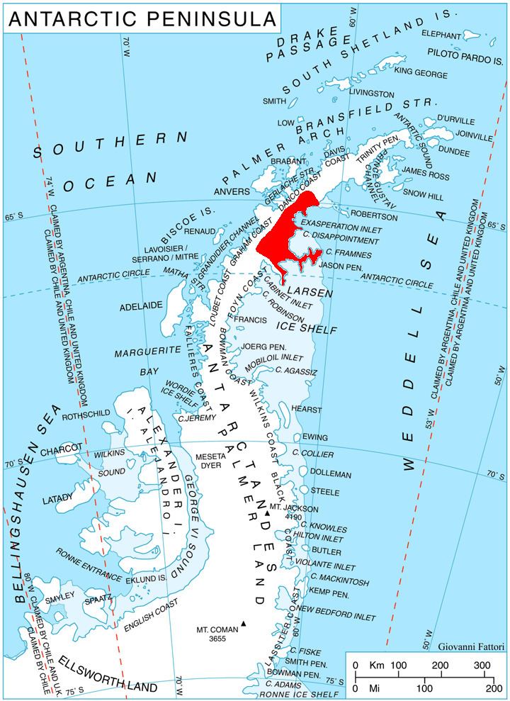
Kyulevcha Nunatak is located at 65°57′45″S 63°30′33″W, which is 5.9 km west-southwest of Moider Peak, 10.65 km west-northwest of Mount Lagado, and 37 km east of Mount Dewey on Graham Coast. British mapping in 1976.
Maps
References
Kyulevcha Nunatak Wikipedia(Text) CC BY-SA