
Quadrant SW Established 1980 Area 190 ha | Ward 6 Annexed 1956 | |
 | ||
Weather 5°C, Wind SW at 11 km/h, 48% Humidity Restaurants Why Not Italian, Strathos Bar & Grill, Little Chef | ||
680 strathcona dr sw mls c4098959 strathcona park calgary real estate video ryan dennis sha
Strathcona Park is a residential neighbourhood in the south-west quadrant of Calgary, Alberta. It is bounded by Bow Trail to the north, Sarcee Trail to the east, Strathcona Drive and the community of Christie Park to the south and Strathcona Park Blvd to the west. Strathcona Park lies in the center of the neighbourhood.
Contents
- 680 strathcona dr sw mls c4098959 strathcona park calgary real estate video ryan dennis sha
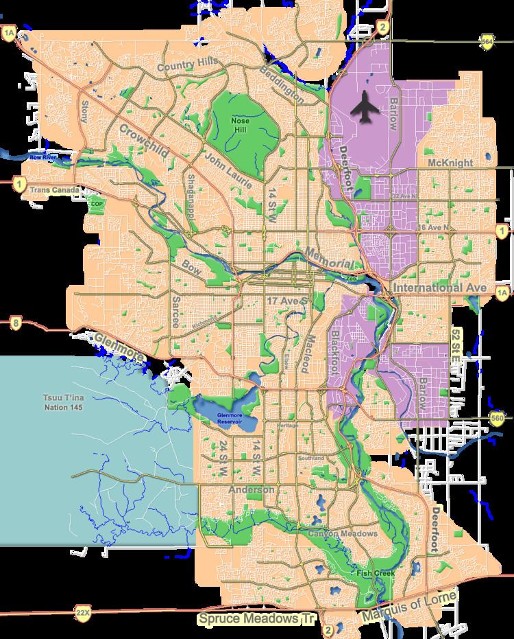
- Map of Strathcona Park Calgary AB Canada
- Demographics
- Education
- References
Map of Strathcona Park, Calgary, AB, Canada
The land was annexed to the City of Calgary in 1956 from the Municipal District of Rocky View. Strathcona Park was established as a neighbourhood in 1980. It is represented in the Calgary City Council by the Ward 6 councillor.
Demographics
In the City of Calgary's 2012 municipal census, Strathcona Park had a population of 7003703300000000000♠7,033 living in 7003243600000000000♠2,436 dwellings, a -0.1% increase from its 2011 population of 7003703900000000000♠7,039. With a land area of 2.7 km2 (1.0 sq mi), it had a population density of 2,600/km2 (6,750/sq mi) in 2012.
Residents in this community had a median household income of $105,139 in 2000, and there were 9.8% low income residents living in the neighbourhood. As of 2000, 20.5% of the residents were immigrants. All buildings were single-family detached homes, and 7.9% of the housing was used for renting.
Education
The community is served by Olympic Heights Elementary public school, and by John W. Costello Catholic Elementary catholic school.