
Quadrant SW Established 1990 Elevation 1,210 m Local time Monday 5:10 AM | Ward 6 Annexed 1956 Area 110 ha Population 2,205 (2006) Mayor Naheed Nenshi | |
 | ||
Weather -14°C, Wind NW at 3 km/h, 81% Humidity | ||
Christie Park is a residential neighbourhood in the south-west quadrant of Calgary, Alberta. It is bounded by Strathcona Drive and the community of Strathcona Park to the north, Sarcee Trail to the east, 17 Avenue S to the south and 69 Street W to the west.
Contents
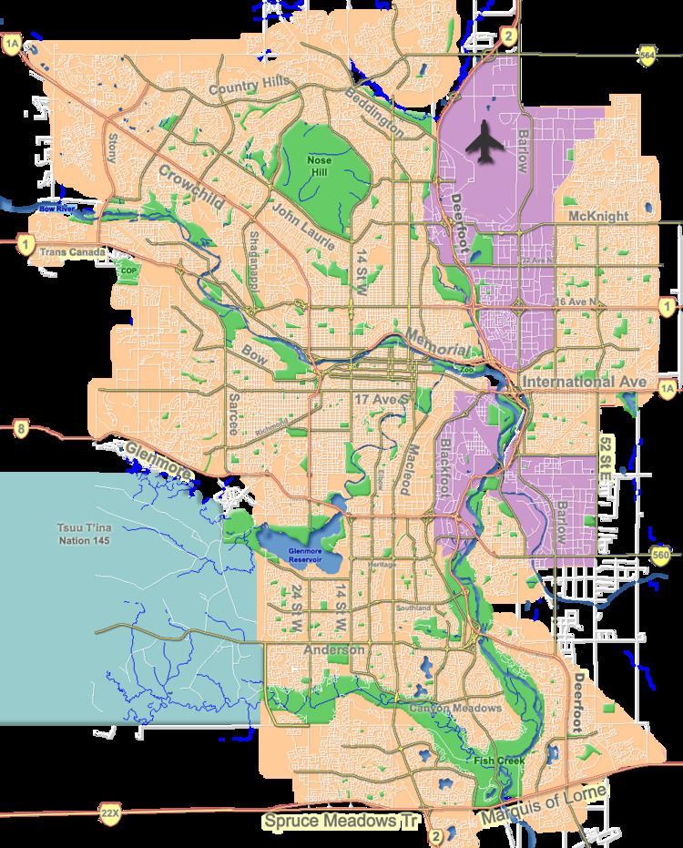
Map of Christie Park, Calgary, AB, Canada
The land was annexed to the City of Calgary in 1956 from the Municipal District of Rocky View. Christie Park was established as a neighbourhood in 1990. It is represented in the Calgary City Council by the Ward 6 councillor.
Demographics
In the City of Calgary's 2012 municipal census, Christie Park had a population of 7003219600000000000♠2,196 living in 7002728000000000000♠728 dwellings, a 0.7% increase from its 2011 population of 7003218000000000000♠2,180. With a land area of 0.8 km2 (0.31 sq mi), it had a population density of 2,750/km2 (7,100/sq mi) in 2012.
Residents in this community had a median household income of $102,664 in 2000, and there were 8.4% low income residents living in the neighbourhood. As of 2000, 19.2% of the residents were immigrants. A proportion of 5.5% of the buildings were condominiums or apartments, and 4.8% of the housing was used for renting.
Education
The community is served by Olympic Heights Elementary public school.