
Max. length 110 kilometres (68 mi) Length 110,000 m | Max depth -679 m | |
 | ||
Similar | ||
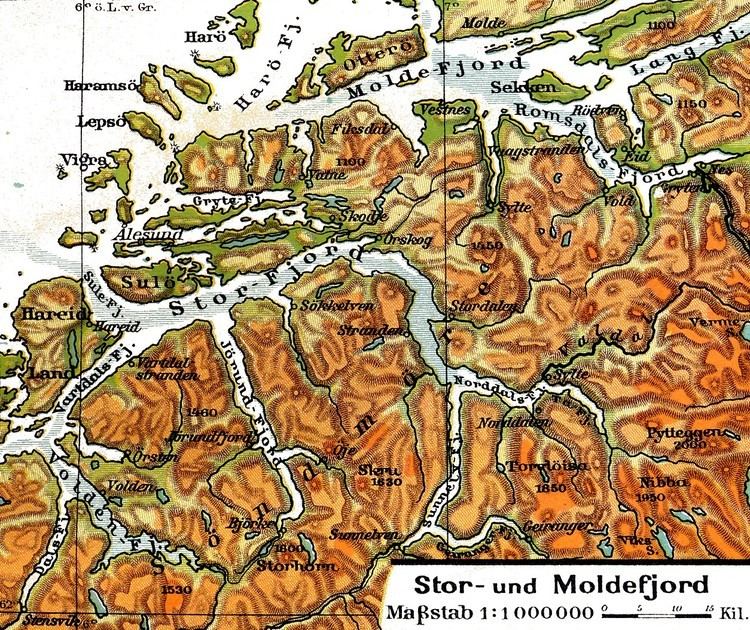
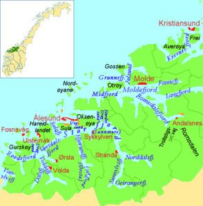
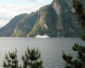
Storfjorden or Storfjord is a 110-kilometre (68 mi) long fjord in the Sunnmøre region of Møre og Romsdal county, Norway. It stretches from the village of Hareid in the west to the villages of Tafjord and Geiranger in the east. The Storfjorden system branches off into several smaller fjords including the famous Geirangerfjord and Tafjorden. At the village of Stranda, the main fjord branches off into the Sunnylvsfjorden-Geirangerfjorden to the west and the Norddalsfjorden-Tafjorden to the east.
Contents
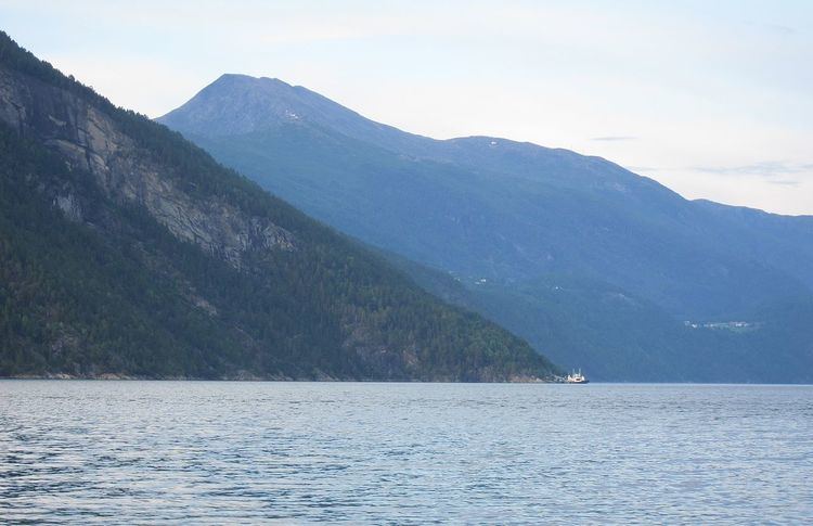
The name literally means the "big" or "great" fjord, indicating that this is a long fjord and it is, in fact, the main fjord in this region. Stretching about 110 kilometres (68 mi), Storfjord is the 5th longest fjord in Norway. The Storfjord is a dominant topographical feature in the Sunnmøre region as it cuts the region in two parts that are only connected by ferry. The deepest point in the fjord is 679 metres (2,228 ft) near the village of Dyrkorn in Stordal Municipality.
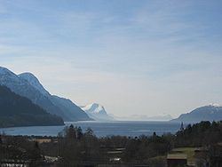
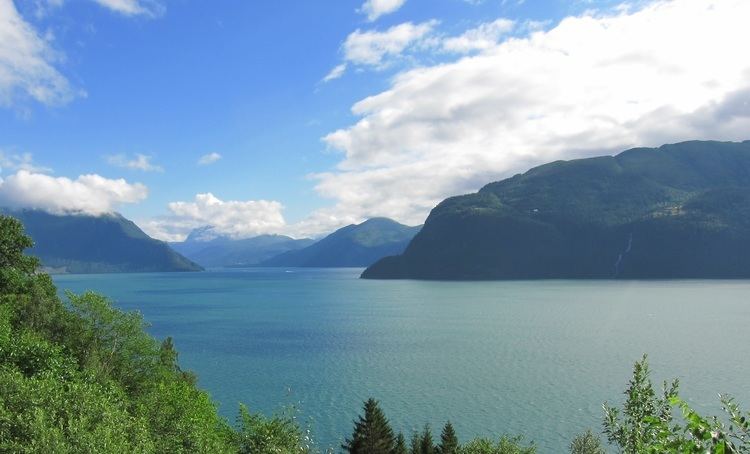
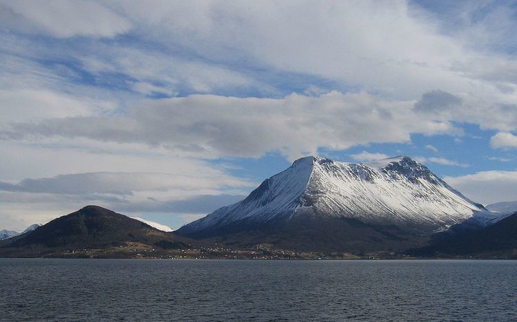
The landscape around Storfjorden is typical for Western Norway. The mouth the fjord is surrounded by islands with mountains reaching 500 to 800 metres (1,600 to 2,600 ft) above sea level. Further to the east there are higher mountains. At the villages of Tafjord and Geiranger, the mountains climb to about 1,500 to 1,800 metres (4,900 to 5,900 ft) above sea level. Most of the Storfjorden has characteristically steep or very steep shores, interrupted by several gentle valleys stretching up to 30 kilometres (19 mi) into the hinterland. In this way, the Storfjorden system is, along with the Nordfjorden, Sognefjorden, and Hardangerfjorden fjord-systems, the major samples of the typical west coast fjords highly praised by visitors.
On the steep shores of the fjord, there are several historic mountain farms such as Ytste Skotet in Stordal Municipality and Me-Åkernes, Skageflå, and Knivsflå in Stranda Municipality.
Branches and sections
From the coast to the inland
Municipalities and villages
This is a list of settlements along the fjord
Transportation
Several car ferries cross the fjord, but there are no bridges or tunnels. The proposed Storfjord Bridge may one day cross the fjord, but it is cost prohibitive at this time. Here is a list of the ferry crossings:
Due to the steep slopes along the shores, road construction is challenging and overland road transport is often limited to valleys. On the northern shore of the Storfjorden, there a continuous network of roads from Tafjord to the island of Sula using the roads 63, 650, E39, 656, 60 and 61. On the southern shore, there are only short sections of roads along the fjord itself.
During summer the Hurtigruten line visits the Storfjorden and Geirangerfjorden regularly.