
Max depth -365 m | Max. length 20 kilometres (12 mi) Length 20,000 m Max width 3,000 m | |
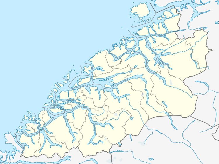 | ||
Vartdalsfjorden is a fjord (more technically, a strait) in Møre og Romsdal county, Norway. It begins at the Storfjorden and Sulafjorden in the northeast and flows through Hareid Municipality and Ulstein Municipality on the northern shore of the fjord and through Ørsta Municipality and Volda Municipality on the southern shore. The 20-kilometre (12 mi) long fjord has one road crossing, the Eiksund Tunnel. The deepest part of the fjord reaches 365 metres (1,198 ft) below sea level. The village of Vartdal lies on the southern shore of the fjord in Ørsta Municipality. From 1895 until 1964, the southern banks of the fjord were part of Vartdal Municipality.
Map of Vartdalsfjorden, 6063 Hj%C3%B8rungav%C3%A5g, Norway
References
Vartdalsfjorden Wikipedia(Text) CC BY-SA