
Width 15 km (9.3 mi) Highest point Blåtind Area 165 km² | Length 20 km (12 mi) Highest elevation 697 m (2,287 ft) | |
 | ||
Points of interest Eismeermuseum Aarvak, Overåsanden ‑ Beach, Kvitneset | ||
En liten xc p hareidlandet
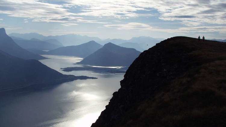
Hareidlandet is an island in Møre og Romsdal county, Norway. The island is divided between Hareid Municipality and Ulstein Municipality. The 166-square-kilometre (64 sq mi) island has a population (2008) of 11,687. The island is mentioned by Snorri in his reports about the Battle of Hjörungavágr (today this is Hjørungavåg) in 986 where Haakon Jarl defeated Bue Digre and the Jomsvikings. The island is then referred to as Höð.
Contents
Map of Hareidlandet, Norway
The island is home to one town, Ulsteinvik, and several larger villages: Eiksund, Haddal, Hasund, Brandal, Hareid, and Hjørungavåg. The island is connected to the mainland to the south via the Eiksund Bridge to the island of Eika which in turn is connected to the mainland through the Eiksund Tunnel. On the west side, the island has bridge connections to the islands of Dimnøya and Gurskøya. On the east side, there is a ferry connection to the island of Sula.
The Old Norwegian name of the island was feminine Höð (modern har- from the Old Norwegian genitive haðar). The etymology of the name is unknown, a suggested meaning of "lake" is speculative, the connection with höð "battle" is spurious. The Old Norse name of the island was adopted by the local association football team of the municipality Ulstein, IL Hødd, when the team was established in 1919.