
Population 1,020 Civil parish Stoke Ferry Area 9.15 km² | OS grid reference TL706995 Sovereign state United Kingdom | |
 | ||
District | ||
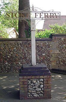
Stoke Ferry is a civil parish in the English county of Norfolk, 6.5 miles south-east of Downham Market. The village lies on the River Wissey which has also been known as the River Stoke. It covers an area of 9.15 km2 (3.53 sq mi) and had a population of 896 in 358 households as of the 2001 census, the population increasing to 1,020 at the 2011 census. For the purposes of local government, it falls within the district of King's Lynn and West Norfolk.
Map of Stoke Ferry, UK
All Saints' Church is no longer used for church services. It is now owned by Kit Hesketh-Harvey.
The village has many small businesses such as 2 Take Aways, A Hairdresser, Wood Yard and Corner Shop.
References
Stoke Ferry Wikipedia(Text) CC BY-SA