
Vehicle registration GU Area 25.88 km² Local time Sunday 10:45 PM Area code 0316 | Time zone CET (UTC+1) Elevation 432 m Population 2,735 (1 Apr 2009) Postal code 8046 | |
 | ||
Website www.stattegg.steiermark.at Weather 3°C, Wind NW at 6 km/h, 62% Humidity | ||
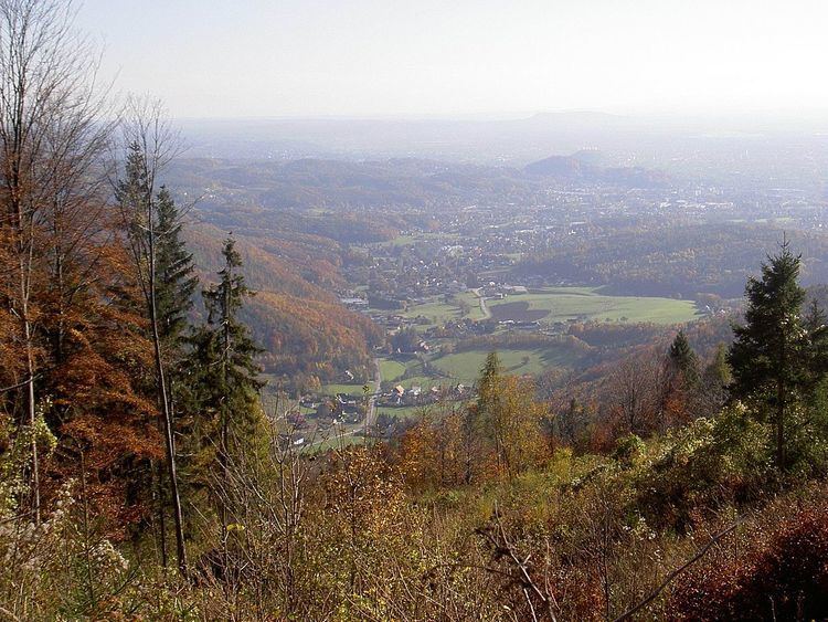
Stattegg is a village and a suburb of Graz, the capital of the Austrian state of Styria. It lies at the bottom of the Schoeckl, a mountain of the European Alps. Stattegg has 2580 inhabitants (as of 31 December 2005) and consists of 13 Katastralgemeinden: Buch, Eichberg, Hochgreit, Hohenberg, Hub, Kalkleiten, Krail, Leber, Mühl, Neudorf, Rannach, Steingraben, Ursprung.
Contents
Map of 8046 Stattegg, Austria
History
In medieval times the Stadecker were a dynasty of ministeriales in the service of the sovereign of Styria. Their seat was the castle of Stadeck located in Hub, a part of Stattegg. Ulrich I von Stadeck was 26th arch bishop of Salzburg (1256–1265), Rudolf von Stadegge was a minstrel, several were Landeshauptmann of Styria. 1400 the dynasty ended with Hans and Leuthold of Stadeck.