
Length 149 km | ||
 | ||
Districts | ||
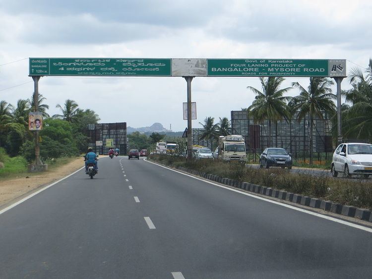
State Highway 17 (SH-17) is a state highway connecting the cities of Bangalore and Mysore in the south Indian state of Karnataka. The highway has a total length of 149 kilometres (93 mi). It was built and maintained by the Karnataka Road Development Corporation Limited and inaugurated in 2003. The highway passes through the towns of Ramanagara, Channapatna, Maddur, Mandya and Srirangapatna (Seringapattinam), before entering Mysore. The road is dual carriageway and passes over the Kaveri river. The 15 km stretch from Bangalore Central to Kengeri NICE Road Junction is known as Mysore Road.
Map of SH17, Karnataka
The 62 kilometres (39 mi) Bangalore-Maddur section was upgraded under build-operate-transfer (Annuity) basis by a consortium of NCC Infra and Maytas Infra. The 49 kilometres (30 mi) Maddur-Mysore stretch was upgraded by Soma under an EPC contract.
Bengaluru-Mysore highway is being upgraded to 6 lane and given status of "NH-275" .