
Language spoken Region Bayaluseeme | ||
 | ||
Colleges and Universities P.E.S. College of Engineering, PES Law College | ||
Map of Mandya
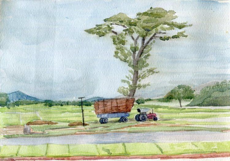
Mandya is a city in the Indian state of Karnataka. It is the headquarters of Mandya district and is located 40 kilometres (25 mi) from Mysore and 100 kilometres (62 mi) from Bangalore. Sugar factories contribute majorly to the economy of the city. It is also called as "SAKKARE NADU" (which in local language means city of sugar) because sugarcane is a major crop.
Contents
- Map of Mandya
- Kere thonnur near mandya nice place for one day trip
- Geography
- Demographics
- History
- Notable people
- References
Kere thonnur near mandya nice place for one day trip
Geography
Mandya is located at 12.52°N 76.9°E / 12.52; 76.9. It has an average elevation of 678 metres (2,224 ft).
Demographics
As of 2001 India census, Mandya had a population of 131,211. Males constitute 51% of the population and females 49%. Mandya has an average literacy rate of 73%, higher than the national average of 59.5%: male literacy is 77%, and female literacy is 68%. In Mandya, 11% of the population is under 6 years of age.
History
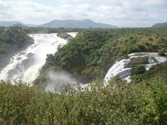
There is a brief history of 75 years to Mandya. Mandya celebrated it 75th year(Amrutha Mahothsava) in 2015. The magnificent KRS dam was built by visveshwaraya in Mandya. There are a lot of historical places of importance in Mandya. In 2016, Archaeological Survey of India (ASI) excavated another 13 ft (4.0 m) statue of Bahubali, a much revered figure among Jains. He was the son of Adinath, the first tirthankara of Jainism, and the younger brother of Bharata Chakravartin, identified with the 3rd – 9th centuries in Arthipura, Mandya district. The excavation is expected to be completed by 2018. The Archaeological Survey of India has also excavated an 8th-century statue of Bahubali in Arthipura, Maddur, Mandya, Karnataka, that is 3 ft (0.91 m) feet wide and 3.5 ft (1.1 m) tall.