Topo map USGS Standhope Peak Elevation 3,620 m | Easiest route Scramble, class 3 Prominence 143 m | |
 | ||
Similar Angel's Perch, Duncan's Peak, Old Hyndman Peak, Goat Mountain, Cobb Peak | ||
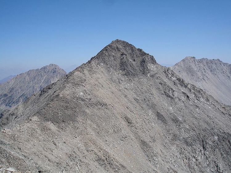
Standhope Peak, at 11,878 feet (3,620 m) above sea level is the fourth highest peak in the Pioneer Mountains of Idaho. The peak is located in Salmon-Challis National Forest and Custer County. It is the 20th highest peak in Idaho and about 0.75 mi (1.21 km) northeast of Peak 11,887 and 1 mi (1.6 km) southwest of Altair Peak.
Map of Standhope Peak, Idaho 83251, USA
References
Standhope Peak Wikipedia(Text) CC BY-SA
