Girish Mahajan (Editor)

Pioneer Mountains (Idaho)

Updated on
Edit
Like
Comment
Share on FacebookTweet on TwitterShare on LinkedInShare on Reddit
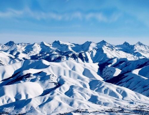
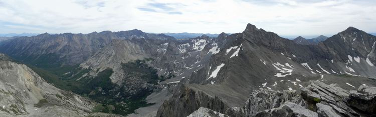
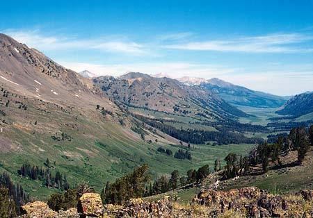
Elevation
  
12,009 ft (3,660 m)

Width
  
20 mi (32 km) E/W

State
  
Idaho

Length
  
18 mi (29 km) N/S

Country
  
United States

Highest point
  
Hyndman Peak

Pioneer Mountains (Idaho) wwwforwolvesorgralphwpagesgraphicshyndmancre

Mountains
  
Hyndman Peak, Devils Bedstead East, Old Hyndman Peak, Cobb Peak, Standhope Peak

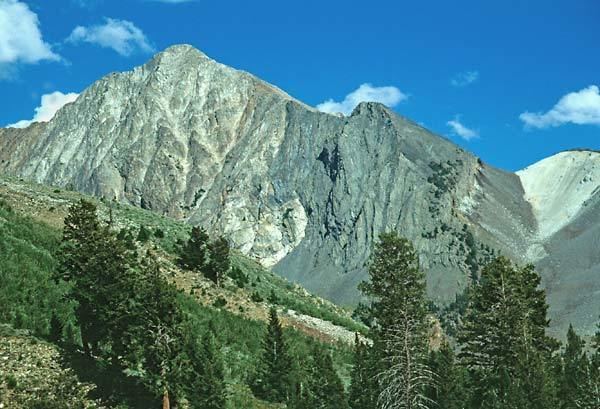
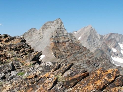
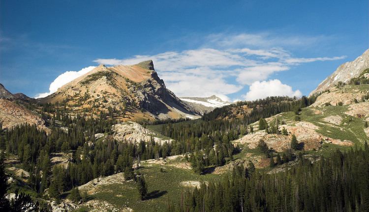
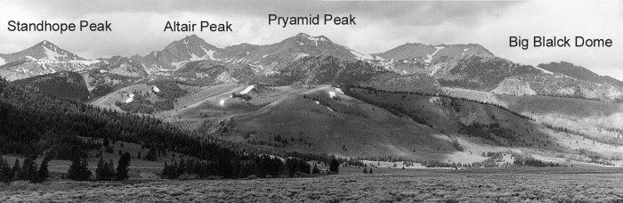
The Pioneer Mountains are a mountain range in the U.S. state of Idaho, spanning Blaine, Butte and Custer counties. The range is bounded on the west by the Big Wood River, Trail Creek and Summit Creek, and the North Fork Big Lost River, on the north and east by the East Fork Big Lost River, Left Fork Cherry Creek, Cherry Creek, Dry Fork Creek, Saint Louis Canyon, and Champagne Creek, and on the south by the Snake River Plain. The mountains are located within Sawtooth and Challis National Forests.

Pioneer Mountains (Idaho) Pioneer Mountains ID Climbing Hiking amp Mountaineering SummitPost
Pioneer Mountains (Idaho) Landscapes Portfolio Gallery plus a few misc images for sale

Pioneer Mountains (Idaho) PIONEER MOUNTAINS IDAHO A Climbing Guide

Pioneer Mountains (Idaho) Pioneer Mountains ID Climbing Hiking amp Mountaineering SummitPost

Pioneer Mountains (Idaho) FilePioneer Mountains IdahoJPG Wikimedia Commons

Pioneer Mountains (Idaho) Pioneer Mountains roadless area Idaho

References

Pioneer Mountains (Idaho) Wikipedia