
 | ||
St. Sava Peak (Bulgarian: връх Св. Сава, ‘Vrah Sv. Sava’ \'vr&h sve-'ti 'sa-va) is the rocky, partly ice-free peak rising to 800 m in Poibrene Heights on Oscar II Coast, Graham Land in Antarctica. It is overlooking Vaughan Inlet to the east-northeast.
Contents
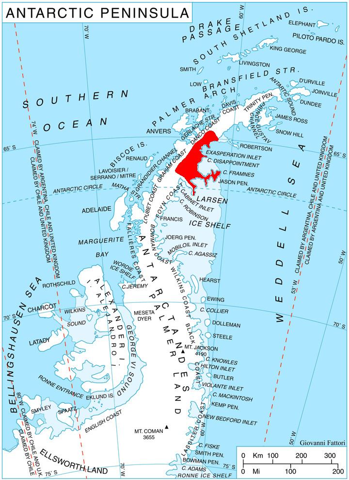
Map of St. Sava Peak, Antarctica
The feature is named after the Bulgarian scholar St. Sava Sedmochislenik (9-10th century AD), a disciple of St. Cyril and St. Methodius.
Location
St. Sava Peak is located at 65°06′53″S 61°53′22″W, which is 4.9 km north-northwest of Ravnogor Peak, 3.8 km southeast of Kamenov Spur and 12.9 km west-northwest of Whiteside Hill.
Maps
References
St. Sava Peak Wikipedia(Text) CC BY-SA