
Time zone CET (UTC+1) Number of municipalities 25 | Area 1,755 km² | |
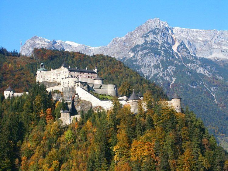 | ||
Points of interest Liechtensteinklamm, Hohenwerfen Castle, Hochkönig, Tennen Mountains, Eisriesenwelt Destinations | ||
Alpines lifestyle hotel tannenhof st johann im pongau hotels austria
The Bezirk Sankt Johann im Pongau is an administrative district (Bezirk) in the federal state of Salzburg, Austria, and congruent with the Pongau region.
Contents
- Alpines lifestyle hotel tannenhof st johann im pongau hotels austria
- Map of St Johann im Pongau District Austria
- Winteraufnahmen skigebiet sankt johann alpendorf 2017
- Administrative divisions
- Towns
- Market towns
- Municipalities
- Tourist attractions
- References
Map of St. Johann im Pongau District, Austria
Area of the district is 1,755.37 km², with a population of 77,872 (May 15, 2001), and population density 44 persons per km². Administrative center of the district is Sankt Johann im Pongau.
Winteraufnahmen skigebiet sankt johann alpendorf 2017
Administrative divisions
The district is divided into 25 municipalities, three of them are towns, and seven of them are market towns.
Towns
- Bischofshofen (10,087)
- Radstadt (4,710)
- Sankt Johann im Pongau (10,260)
Market towns
- Altenmarkt im Pongau (3,486)
- Bad Hofgastein (6,727)
- Großarl (3,634)
- Sankt Veit im Pongau (3,330)
- Schwarzach im Pongau (3,526)
- Wagrain (3,127)
- Werfen (3,085)
Municipalities
- Bad Gastein (5,838)
- Dorfgastein (1,649)
- Eben im Pongau (2,005)
- Filzmoos (1,352)
- Flachau (2,625)
- Forstau (515)
- Goldegg (2,216)
- Hüttau (1,555)
- Hüttschlag (974)
- Kleinarl (743)
- Mühlbach am Hochkönig (1,629)
- Pfarrwerfen (2,174)
- Sankt Martin am Tennengebirge (1,406)
- Untertauern (453)
- Werfenweng (766)
(population numbers May 15, 2001)
Tourist attractions
References
St. Johann im Pongau District Wikipedia(Text) CC BY-SA