
OS grid reference TQ314872 Sovereign state United Kingdom UK parliament constituency Tottenham | Dialling code 020 | |
 | ||
Population 14,638 (2011 Census. Ward) | ||
St Ann's is a neighbourhood in England, in the south of the London Borough of Haringey to the east of Harringay and West Green. It is located within, but is distinct from, St Ann's ward.
Contents
Location
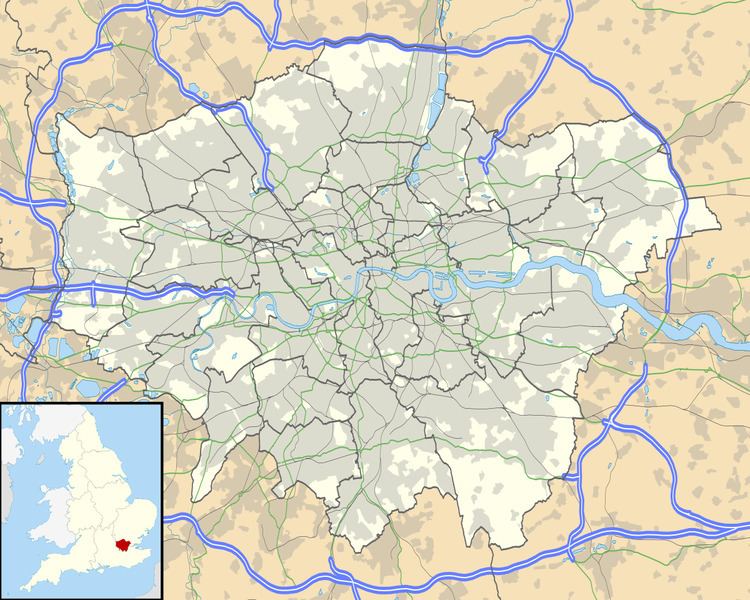
St Ann's extends from Chestnuts Park in the west to Seven Sisters Road in the east. To the south, its boundary is defined by the London Overground railway line.
History
St. Ann's Church was built in a rural setting in the middle of the nineteenth century and consecrated in 1861. A hamlet soon began to grow up around the church. However, it was quickly swallowed up by the northward march of London. By the mid-1890s, it could no longer be distinguished as a separate hamlet.
Education
For details of education in St Ann's, see the London Borough of Haringey article.Nearest places
Nearest tube and rail stations
References
St Ann's, London Wikipedia(Text) CC BY-SA