
Sovereign state United Kingdom Dialling code 020 | Postcode district N17 | |
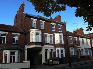 | ||
1 bedroom flat to rent on newton road south tottenham london n15 by ellis co
South Tottenham is an area of the London Borough of Haringey, north London.
Contents
- 1 bedroom flat to rent on newton road south tottenham london n15 by ellis co
- Map of South Tottenham London UK
- Location
- History and etymology
- Character of the area
- Transport
- Education
- References
Map of South Tottenham, London, UK
Location
South Tottenham occupies parts of the N15 and N17 postal districts. It is bordered in the south by Stamford Hill, the west by St Ann's and West Green, the north by Tottenham, and the east by the Lee Valley Reservoirs.
History and etymology
For the history & etymology of South Tottenham see Tottenham.Character of the area
South Tottenham once had a significant Jewish community. Over recent years cheaper housing developments have resulted in an influx of immigrants, especially from Eastern Europe, South America and Africa. It remains a culturally diverse and ever changing area, this can be seen by the businesses in the area.
Transport
It is served by South Tottenham railway station on the London Overground, and by Seven Sisters station, on the London Overground, London Underground (Victoria line) and National Rail.