
Elevation 338 m Local time Thursday 8:47 AM | Postal code 753 63 Area 14.81 km² Population 841 (2006) | |
 | ||
Weather 9°C, Wind NE at 6 km/h, 82% Humidity | ||
Moje t da st te nad ludinou
Střítež nad Ludinou is a village and municipality (obec) in Přerov District in the Olomouc Region of the Czech Republic.
Contents
- Moje t da st te nad ludinou
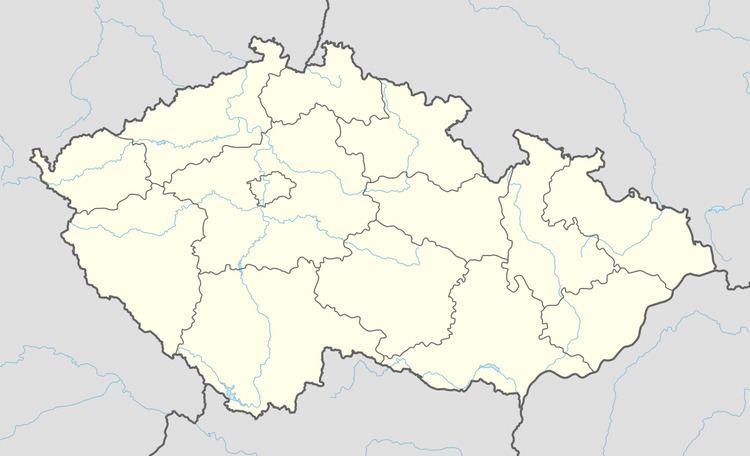
- Map of 753 63 StC599C3ADteC5BE nad Ludinou Czechia
- Sdh st te nad ludinou eny sez na 2016
- References
Map of 753 63 St%C5%99%C3%ADte%C5%BE nad Ludinou, Czechia
The municipality covers an area of 14.81 square kilometres (5.72 sq mi), and has a population of 841 (as at 3 July 2006).
Střítež nad Ludinou lies approximately 27 kilometres (17 mi) north-east of Přerov, 36 km (22 mi) east of Olomouc, and 245 km (152 mi) east of Prague.
Sdh st te nad ludinou eny sez na 2016
References
Střítež nad Ludinou Wikipedia(Text) CC BY-SA