
Urban-type settlements 2 Area 15,190 km² | Cities/towns 1 Rural localities 38 | |
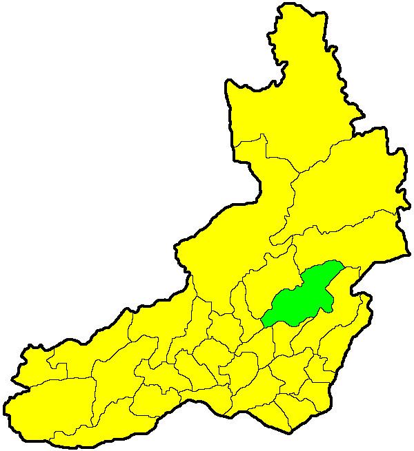 | ||
Sretensky District (Russian: Сретенский райо́н) is an administrative and municipal district (raion), one of the thirty-one in Zabaykalsky Krai, Russia. It is located in the east of the krai, and borders with Mogochinsky District in the north, Gazimuro-Zavodsky District in the east, and with District in the west. The area of the district is 15,600 square kilometers (6,000 sq mi). Its administrative center is the town of Sretensk. Population: 23,311 (2010 Census); 27,524 (2002 Census); 33,236 (1989 Census). The population of Sretensk accounts for 29.4% of the district's total population.
Contents
Map of Sretenskiy r-n, Zabaykalsky Krai, Russia
History
The district was established on January 26, 1926.
References
Sretensky District Wikipedia(Text) CC BY-SA